Heemstede night lights from space
Night Light of Heemstede (North Holland) from space (Netherlands) Src. Average luminocity for 10x10km area is 58.9621% and for 50x50km: 36.0421%.
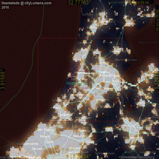
Analysis of Heemstede night lights 2016
Square area 10x10 km:
 13.64%
90-99
16.41%80-89
2.27%70-79
4.8%60-69
9.09%50-59
9.34%40-49
12.37%30-39
8.46%20-29
11.87%10-19
11.24%0-9
0.51%Square area 50x50 km:
10.46%90-99
9.09%80-89
2.48%70-79
2.99%60-69
3.59%50-59
3.37%40-49
4.17%30-39
5.57%20-29
9.94%10-19
10.6%0-9
37.74%Clear (daylight) street map image can be seen on geolist.org.
Map coordinates:
52° 46' 38.4" North, 3° 55' 11.6" East
52° 20' 59.7" North, 4° 37' 22.8" East
51° 55' 6" North, 5° 19' 34.1" East
Some cities around Heemstede sort by population:
• Haarlem
3.6 km =2.2 mi,  15°
15°
• Hoofddorp
6.9 km =4.3 mi,  139°
139°
• Velsen-Zuid
12.4 km =7.7 mi,  8°
8°
• Lisse
11 km =6.8 mi,  204°
204°
• Hillegom
7.1 km =4.4 mi, 202°
• Zandvoort
6.6 km =4.1 mi,  291°
291°
• Noordwijkerhout
13.2 km =8.2 mi,  221°
221°
• Bennebroek
3.6 km =2.2 mi,  207°
207°
2754692 (p: 25,562)
Sources (retrieved 2019-11-25):
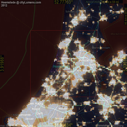
» Earth at Night: Flat Maps 2012, 2016