Lisse night lights from space
Night Light of Lisse (South Holland) from space (Netherlands) Src. Average luminocity for 10x10km area is 50.8677% and for 50x50km: 41.6472%.
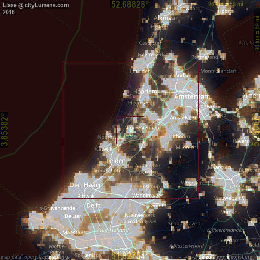
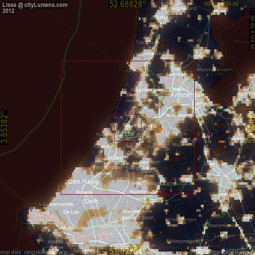
Analysis of Lisse night lights 2016
Square area 10x10 km:
 9.39%
9.39%90-99
9.92%80-89
1.98%70-79
5.56%60-69
8.47%50-59
5.82%40-49
11.9%30-39
18.12%20-29
19.18%10-19
7.94%0-9
1.72%Square area 50x50 km:
13.79%90-99
10.23%80-89
2.66%70-79
3.24%60-69
4.56%50-59
4.32%40-49
4.89%30-39
6.27%20-29
8.68%10-19
7.08%0-9
34.26%Clear (daylight) street map image can be seen on geolist.org.
Map coordinates:
52° 41' 17.8" North, 3° 51' 13.8" East
52° 15' 36" North, 4° 33' 25" East
51° 49' 39.1" North, 5° 15' 36.3" East
Some cities around Lisse sort by population:
• Hoofddorp
10.1 km =6.3 mi,  62°
62°
• Noordwijk-Binnen
8.2 km =5.1 mi,  249°
249°
• Oegstgeest
10.7 km =6.6 mi,  213°
213°
• Hillegom
3.9 km =2.4 mi,  27°
27°
• Merenwijk
9.8 km =6.1 mi,  199°
199°
• Sassenheim
4.6 km =2.9 mi, 211°
• Noordwijkerhout
4.4 km =2.7 mi,  272°
272°
• Bennebroek
7.3 km =4.5 mi,  22°
22°
2751547 (p: 22,321)
Sources (retrieved 2019-11-25):
» Earth at Night: Flat Maps 2012, 2016