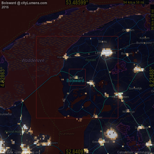
Bolsward night lights from space
Night Light of Bolsward (Friesland) from space (Netherlands) Src. Average luminocity for 10x10km area is 2.1878% and for 50x50km: 2.8613%.
Analysis of Bolsward night lights 2016
Square area 10x10 km:
 0%
0%90-99
0%80-89
0%70-79
0.53%60-69
0.13%50-59
1.46%40-49
0.53%30-39
0%20-29
0.53%10-19
1.06%0-9
95.77%Square area 50x50 km:
0.37%90-99
0.5%80-89
0.2%70-79
0.25%60-69
0.44%50-59
0.49%40-49
0.4%30-39
0.27%20-29
0.41%10-19
1.97%0-9
94.7%Clear (daylight) street map image can be seen on geolist.org.
Map coordinates:
53° 29' 9.6" North, 4° 49' 43.1" East
53° 3' 56" North, 5° 31' 54.3" East
52° 38' 27.5" North, 6° 14' 5.6" East
Some cities around Bolsward sort by population:
• Leeuwarden
23.9 km =14.9 mi,  50°
50°
• Sneek
9.2 km =5.7 mi,  113°
113°
• Harlingen
14.2 km =8.8 mi,  329°
329°
• Franeker
13.3 km =8.3 mi,  2°
2°
• Joure
21.3 km =13.2 mi,  121°
121°
• Huizum
23.3 km =14.5 mi, 53°
• Zuiderburen
24 km =14.9 mi,  59°
59°
• Grou
20.7 km =12.9 mi,  81°
81°
2758682 (p: 9,160)
Sources (retrieved 2019-11-25):
» Earth at Night: Flat Maps 2012, 2016