Chinandega night lights from space
Night Light of Chinandega from space (Nicaragua) Src. Average luminocity for 10x10km area is 27.1948% and for 50x50km: 2.7105%.
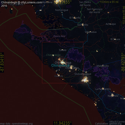
Analysis of Chinandega night lights 2016
Square area 10x10 km:
 0.43%
0.43%90-99
3.9%80-89
5.63%70-79
4.76%60-69
6.28%50-59
4.11%40-49
2.38%30-39
3.25%20-29
0.65%10-19
27.27%0-9
41.34%Square area 50x50 km:
0.04%90-99
0.31%80-89
0.46%70-79
0.4%60-69
0.42%50-59
0.49%40-49
0.2%30-39
0.46%20-29
0.31%10-19
1.78%0-9
95.12%Clear (daylight) street map image can be seen on geolist.org.
Map coordinates:
13° 18' 52.4" North, 87° 50' 3" West
12° 37' 45.7" North, 87° 7' 51.8" West
11° 56' 32.5" North, 86° 25' 40.5" West
Some cities around Chinandega sort by population:
• León
34.7 km =21.6 mi,  127°
127°
• El Viejo
5.4 km =3.4 mi,  314°
314°
• Chichigalpa
12.7 km =7.9 mi,  117°
117°
• Corinto
17 km =10.6 mi,  195°
195°
• Telica
31.8 km =19.8 mi,  112°
112°
• Puerto Morazán
25 km =15.5 mi,  349°
349°
• Posoltega
18.9 km =11.7 mi, 119°
• El Realejo
10.3 km =6.4 mi, 201°
3620381 (p: 126,387)
Sources (retrieved 2019-11-25):
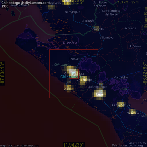
» NASA, Earths city lights 1995
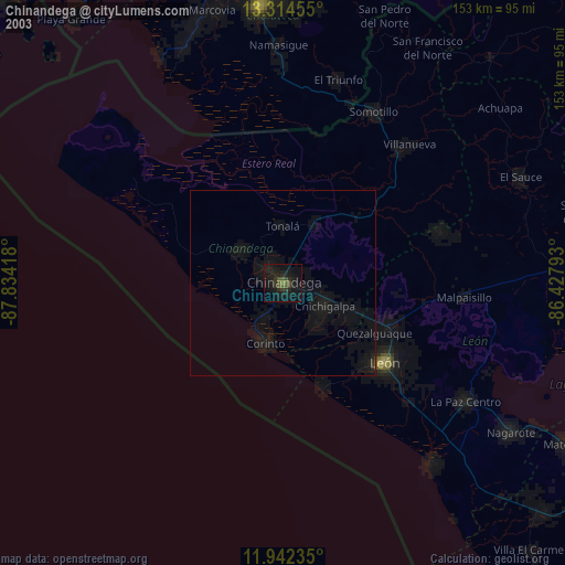
» NASA city lights 2003
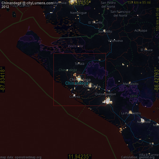
» Earth at Night: Flat Maps 2012, 2016