El Viejo night lights from space
Night Light of El Viejo (Chinandega) from space (Nicaragua) Src. Average luminocity for 10x10km area is 18.0346% and for 50x50km: 2.4105%.
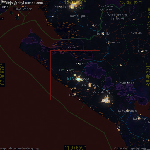
Analysis of El Viejo night lights 2016
Square area 10x10 km:
 0.43%
0.43%90-99
2.81%80-89
2.38%70-79
3.46%60-69
4.33%50-59
3.9%40-49
0.65%30-39
3.68%20-29
0%10-19
10.39%0-9
67.97%Square area 50x50 km:
0.04%90-99
0.25%80-89
0.42%70-79
0.4%60-69
0.41%50-59
0.44%40-49
0.19%30-39
0.44%20-29
0.26%10-19
1.21%0-9
95.93%Clear (daylight) street map image can be seen on geolist.org.
Map coordinates:
13° 20' 54.8" North, 87° 52' 11.1" West
12° 39' 48.5" North, 87° 9' 59.9" West
11° 58' 35.6" North, 86° 27' 48.6" West
Some cities around El Viejo sort by population:
• León
40.1 km =24.9 mi,  128°
128°
• Chinandega
5.4 km =3.4 mi, 134°
• Chichigalpa
17.9 km =11.1 mi,  122°
122°
• Corinto
20.1 km =12.5 mi,  181°
181°
• Telica
36.9 km =22.9 mi, 115°
• Puerto Morazán
20.8 km =12.9 mi,  358°
358°
• Posoltega
24.2 km =15 mi, 123°
• El Realejo
13.4 km =8.3 mi, 179°
3619267 (p: 53,504)
Sources (retrieved 2019-11-25):
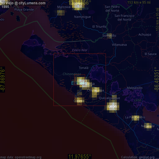
» NASA, Earths city lights 1995
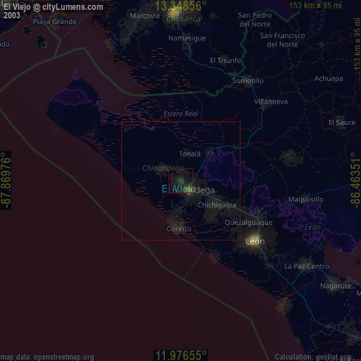
» NASA city lights 2003
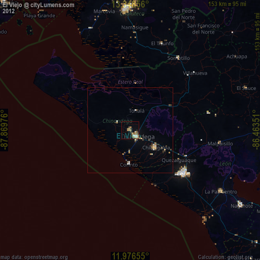
» Earth at Night: Flat Maps 2012, 2016