Uyo night lights from space
Night Light of Uyo (Akwa Ibom) from space (Nigeria) Src. Average luminocity for 10x10km area is 29.3492% and for 50x50km: 2.2113%.
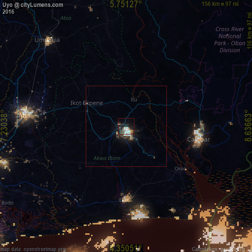

Analysis of Uyo night lights 2016
Square area 10x10 km:
 5.37%
5.37%90-99
7.85%80-89
1.03%70-79
2.48%60-69
1.45%50-59
3.51%40-49
5.58%30-39
4.96%20-29
5.58%10-19
27.48%0-9
34.71%Square area 50x50 km:
0.27%90-99
0.44%80-89
0.13%70-79
0.1%60-69
0.15%50-59
0.21%40-49
0.53%30-39
0.53%20-29
0.57%10-19
2.22%0-9
94.86%Clear (daylight) street map image can be seen on geolist.org.
Map coordinates:
5° 45' 4.6" North, 7° 13' 49.4" East
5° 3' 4.6" North, 7° 56' 0.6" East
4° 21' 1.8" North, 8° 38' 11.9" East
Some cities around Uyo sort by population:
• Calabar
44.8 km =27.8 mi,  103°
103°
• Ikot Ekpene
28.2 km =17.5 mi,  300°
300°
• Esuk Oron
44.9 km =27.9 mi,  127°
127°
• Itu
17.6 km =10.9 mi,  18°
18°
• Abak
17.7 km =11 mi,  244°
244°
• Arochukwu
37.7 km =23.4 mi,  356°
356°
• Etinan
24.9 km =15.5 mi,  201°
201°
• Akankpa
29.6 km =18.4 mi,  73°
73°
2319480 (p: 436,606)
Sources (retrieved 2019-11-25):
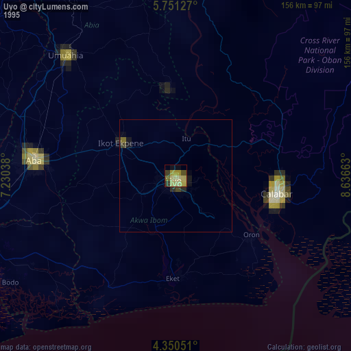
» NASA, Earths city lights 1995
» NASA city lights 2003
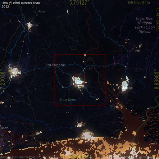
» Earth at Night: Flat Maps 2012, 2016