Itu night lights from space
Night Light of Itu (Akwa Ibom) from space (Nigeria) Src. Average luminocity for 10x10km area is 0% and for 50x50km: 2.0115%.
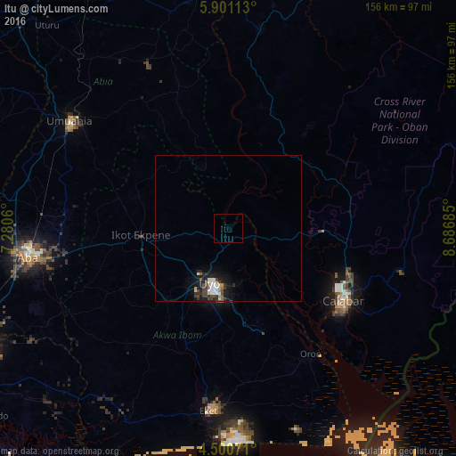
Analysis of Itu night lights 2016
Square area 10x10 km:
100  0%
0%
90-99 0%
80-89 0%
70-79 0%
60-69 0%
50-59 0%
40-49 0%
30-39 0%
20-29 0%
10-19 0%
0-9 100%
0%90-99
0%80-89
0%70-79
0%60-69
0%50-59
0%40-49
0%30-39
0%20-29
0%10-19
0%0-9
100%Square area 50x50 km:
100 0.27%
90-99 0.44%
80-89 0.13%
70-79 0.1%
60-69 0.15%
50-59 0.19%
40-49 0.47%
30-39 0.5%
20-29 0.5%
10-19 1.86%
0-9 95.4%
0.27%90-99
0.44%80-89
0.13%70-79
0.1%60-69
0.15%50-59
0.19%40-49
0.47%30-39
0.5%20-29
0.5%10-19
1.86%0-9
95.4%Clear (daylight) street map image can be seen on geolist.org.
Map coordinates:
5° 54' 4.1" North, 7° 16' 50.2" East
5° 12' 4.7" North, 7° 59' 1.4" East
4° 30' 2.6" North, 8° 41' 12.7" East
Some cities around Itu sort by population:
• Calabar
46.6 km =29 mi,  125°
125°
• Uyo
17.6 km =10.9 mi,  198°
198°
• Ikot Ekpene
29.9 km =18.6 mi,  265°
265°
• Ohafia-Ifigh
49.7 km =30.9 mi,  337°
337°
• Abak
32.5 km =20.2 mi,  221°
221°
• Arochukwu
22.4 km =13.9 mi, 339°
• Etinan
42.4 km =26.3 mi, 200°
• Akankpa
24.3 km =15.1 mi,  110°
110°
2336985 (p: 36,358)
Sources (retrieved 2019-11-25):
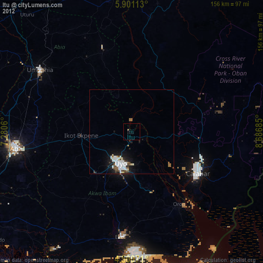
» Earth at Night: Flat Maps 2012, 2016