Calabar night lights from space
Night Light of Calabar (Cross River) from space (Nigeria) Src. Average luminocity for 10x10km area is 33.1405% and for 50x50km: 2.7562%.
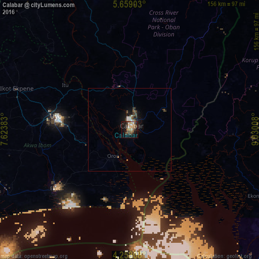
Analysis of Calabar night lights 2016
Square area 10x10 km:
 3.51%
3.51%90-99
4.34%80-89
0.41%70-79
3.31%60-69
10.74%50-59
7.02%40-49
7.64%30-39
6.4%20-29
4.96%10-19
25.83%0-9
25.83%Square area 50x50 km:
0.29%90-99
0.39%80-89
0.03%70-79
0.19%60-69
0.55%50-59
0.56%40-49
0.63%30-39
0.63%20-29
0.44%10-19
2.52%0-9
93.77%Clear (daylight) street map image can be seen on geolist.org.
Map coordinates:
5° 39' 32.5" North, 7° 37' 25.8" East
4° 57' 32.1" North, 8° 19' 37" East
4° 15' 29.1" North, 9° 1' 48.3" East
Some cities around Calabar sort by population:
• Uyo
44.8 km =27.8 mi,  283°
283°
• Esuk Oron
19.2 km =11.9 mi,  205°
205°
• Itu
46.6 km =29 mi,  305°
305°
• Eket
56.8 km =35.3 mi,  231°
231°
• Ikang
29.5 km =18.3 mi,  129°
129°
• Abak
59.6 km =37 mi,  272°
272°
• Etinan
54.1 km =33.6 mi,  256°
256°
• Akankpa
24 km =14.9 mi,  320°
320°
2346229 (p: 461,796)
Sources (retrieved 2019-11-25):
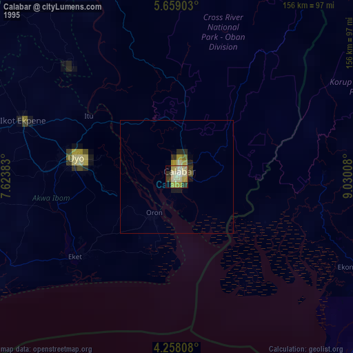
» NASA, Earths city lights 1995
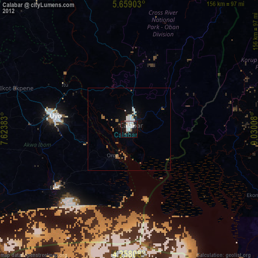
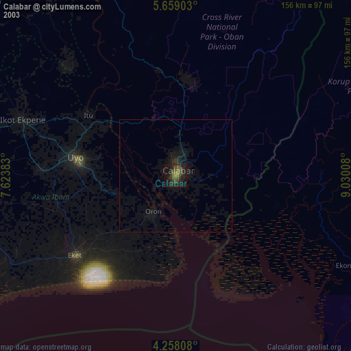
» NASA city lights 2003
» Earth at Night: Flat Maps 2012, 2016