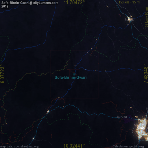
Sofo-Birnin-Gwari night lights from space
Night Light of Sofo-Birnin-Gwari (Kaduna) from space (Nigeria) Src. Average luminocity for 10x10km area is 0% and for 50x50km: 0%.
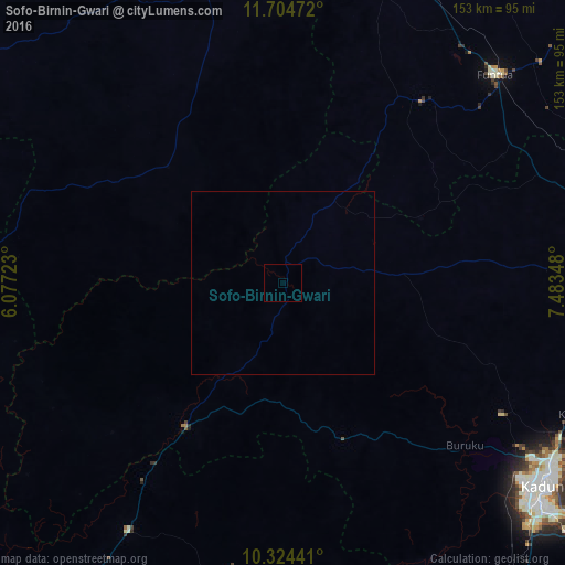
Analysis of Sofo-Birnin-Gwari night lights 2016
Square area 10x10 km:
 0%
0%90-99
0%80-89
0%70-79
0%60-69
0%50-59
0%40-49
0%30-39
0%20-29
0%10-19
0%0-9
100%Square area 50x50 km:
0%90-99
0%80-89
0%70-79
0%60-69
0%50-59
0%40-49
0%30-39
0%20-29
0%10-19
0%0-9
100%Clear (daylight) street map image can be seen on geolist.org.
Map coordinates:
11° 42' 17" North, 6° 4' 38" East
11° 0' 55.3" North, 6° 46' 49.3" East
10° 19' 27.9" North, 7° 29' 0.5" East
Some cities around Sofo-Birnin-Gwari sort by population:
• Kaduna
90.2 km =56 mi,  127°
127°
• Funtua
80.9 km =50.3 mi,  45°
45°
• Sauri
79.1 km =49.2 mi,  0°
0°
• Bakori
92.4 km =57.4 mi, 49°
• Danja
94.2 km =58.5 mi,  64°
64°
• Dan Sadau
44.1 km =27.4 mi,  315°
315°
• Mando
40.6 km =25.2 mi,  215°
215°
• Kusheriki
65.1 km =40.5 mi,  214°
214°
2347061 (p: 22,380)
Sources (retrieved 2019-11-25):
» Earth at Night: Flat Maps 2012, 2016