Kaduna night lights from space
Night Light of Kaduna from space (Nigeria) Src. Average luminocity for 10x10km area is 82.593% and for 50x50km: 11.6168%.
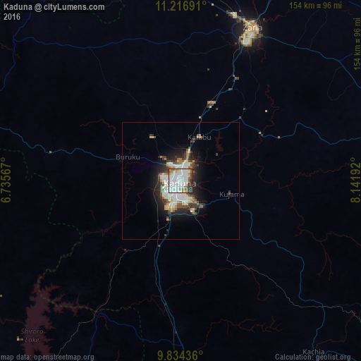
Analysis of Kaduna night lights 2016
Square area 10x10 km:
 22.11%
90-99
42.36%80-89
4.13%70-79
6.2%60-69
5.58%50-59
5.58%40-49
3.93%30-39
6.2%20-29
3.93%10-19
0%0-9
0%Square area 50x50 km:
1.31%90-99
4.31%80-89
1.18%70-79
0.93%60-69
0.95%50-59
1.09%40-49
1.38%30-39
1.96%20-29
2.91%10-19
5.53%0-9
78.44%Clear (daylight) street map image can be seen on geolist.org.
Map coordinates:
11° 13' 0.9" North, 6° 44' 8.4" East
10° 31' 35.1" North, 7° 26' 19.6" East
9° 50' 3.7" North, 8° 8' 30.9" East
Some cities around Kaduna sort by population:
• Zaria
72 km =44.7 mi,  25°
25°
• Sofo-Birnin-Gwari
90.2 km =56 mi,  307°
307°
• Dutsen Wai
90.5 km =56.2 mi,  66°
66°
• Soba
84.4 km =52.4 mi,  53°
53°
• Kajuru
35.1 km =21.8 mi,  130°
130°
• Kujama
23.1 km =14.4 mi,  109°
109°
• Igabi
43.3 km =26.9 mi,  44°
44°
• Hunkuyi
85.5 km =53.1 mi,  15°
15°
2335727 (p: 1,582,102)
Sources (retrieved 2019-11-25):
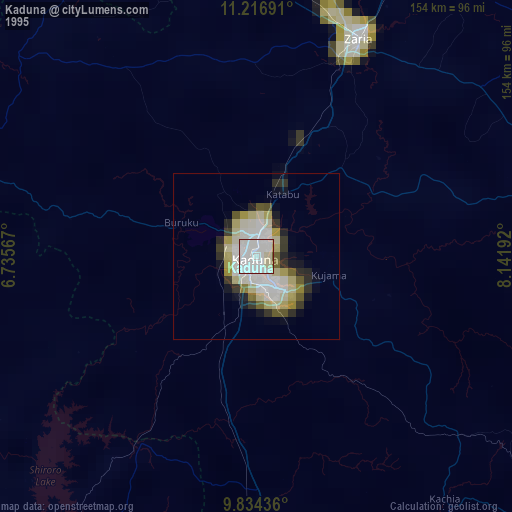
» NASA, Earths city lights 1995
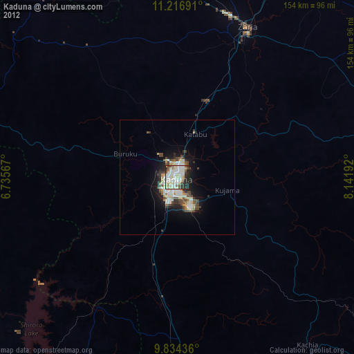
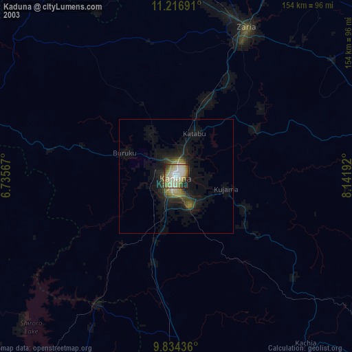
» NASA city lights 2003
» Earth at Night: Flat Maps 2012, 2016