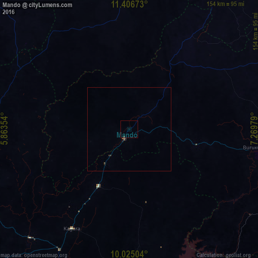
Mando night lights from space
Night Light of Mando (Kaduna) from space (Nigeria) Src. Average luminocity for 10x10km area is 0.4256% and for 50x50km: 0.1584%.
Analysis of Mando night lights 2016
Square area 10x10 km:
 0%
0%90-99
0%80-89
0%70-79
0%60-69
0%50-59
0%40-49
0.21%30-39
0.62%20-29
0%10-19
0%0-9
99.17%Square area 50x50 km:
0%90-99
0%80-89
0%70-79
0%60-69
0.07%50-59
0.03%40-49
0.04%30-39
0.07%20-29
0.1%10-19
0.06%0-9
99.63%Clear (daylight) street map image can be seen on geolist.org.
Map coordinates:
11° 24' 24.2" North, 5° 51' 48.7" East
10° 43' 0" North, 6° 34' 0" East
10° 1' 30.1" North, 7° 16' 11.2" East
Some cities around Mando sort by population:
• Kaduna
97.6 km =60.6 mi,  102°
102°
• Tegina
82.8 km =51.4 mi,  209°
209°
• Sofo-Birnin-Gwari
40.6 km =25.2 mi,  35°
35°
• Bena
93.5 km =58.1 mi,  312°
312°
• Dan Sadau
64.9 km =40.3 mi,  353°
353°
• Kuta
95.6 km =59.4 mi,  170°
170°
• Kusheriki
24.6 km =15.3 mi, 213°
• Ukata
82 km =51 mi,  278°
278°
2330937 (p: 7,500)
Sources (retrieved 2019-11-25):
» Earth at Night: Flat Maps 2012, 2016