Modakeke night lights from space
Night Light of Modakeke (Osun) from space (Nigeria) Src. Average luminocity for 10x10km area is 0% and for 50x50km: 0.0667%.
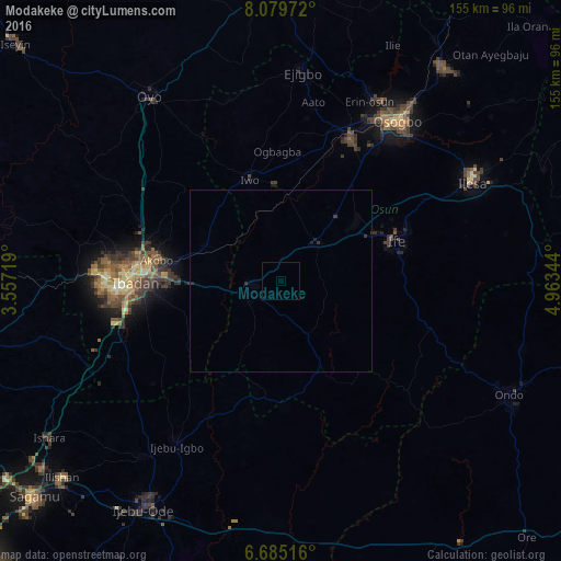
Analysis of Modakeke night lights 2016
Square area 10x10 km:
 0%
0%90-99
0%80-89
0%70-79
0%60-69
0%50-59
0%40-49
0%30-39
0%20-29
0%10-19
0%0-9
100%Square area 50x50 km:
0%90-99
0%80-89
0%70-79
0%60-69
0%50-59
0%40-49
0%30-39
0.07%20-29
0.1%10-19
0.07%0-9
99.76%Clear (daylight) street map image can be seen on geolist.org.
Map coordinates:
8° 4' 47" North, 3° 33' 25.9" East
7° 22' 58.8" North, 4° 15' 37.1" East
6° 41' 6.6" North, 4° 57' 48.4" East
Some cities around Modakeke sort by population:
• Ibadan
39.1 km =24.3 mi,  269°
269°
• Iwo
29.4 km =18.3 mi,  342°
342°
• Ikire
8.3 km =5.2 mi,  259°
259°
• Inisa
52.3 km =32.5 mi,  8°
8°
• Gbongan
14.7 km =9.1 mi,  44°
44°
• Olupona
25.6 km =15.9 mi, 340°
• Lalupon
23.4 km =14.5 mi,  293°
293°
• Apomu
9.2 km =5.7 mi,  247°
247°
2330028 (p: 119,529)
Sources (retrieved 2019-11-25):
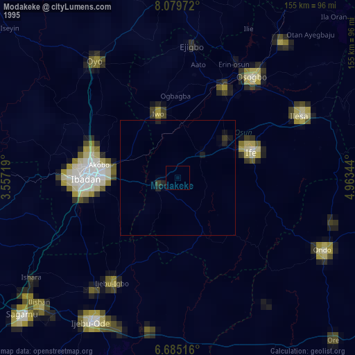
» NASA, Earths city lights 1995
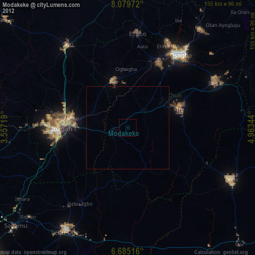
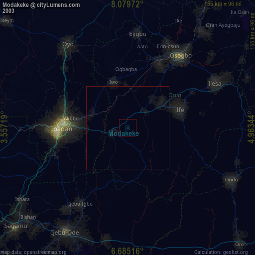
» NASA city lights 2003
» Earth at Night: Flat Maps 2012, 2016