Iwo night lights from space
Night Light of Iwo (Osun) from space (Nigeria) Src. Average luminocity for 10x10km area is 0.5325% and for 50x50km: 0.3629%.
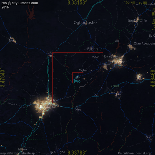
Analysis of Iwo night lights 2016
Square area 10x10 km:
 0%
0%90-99
0%80-89
0%70-79
0%60-69
0%50-59
0%40-49
0.87%30-39
0%20-29
0%10-19
0.87%0-9
98.27%Square area 50x50 km:
0%90-99
0%80-89
0%70-79
0%60-69
0.03%50-59
0.03%40-49
0.07%30-39
0.27%20-29
0.24%10-19
0.51%0-9
98.86%Clear (daylight) street map image can be seen on geolist.org.
Map coordinates:
8° 19' 53.7" North, 3° 28' 42.3" East
7° 38' 7" North, 4° 10' 53.6" East
6° 56' 16.2" North, 4° 53' 4.8" East
Some cities around Iwo sort by population:
• Ikire
29.5 km =18.3 mi,  178°
178°
• Inisa
28.8 km =17.9 mi,  34°
34°
• Gbongan
25.8 km =16 mi,  132°
132°
• Modakeke
29.4 km =18.3 mi,  162°
162°
• Olupona
3.9 km =2.4 mi, 177°
• Lalupon
22.6 km =14 mi,  214°
214°
• Apomu
31.5 km =19.6 mi, 179°
• Fiditi
30.4 km =18.9 mi,  286°
286°
2336905 (p: 250,443)
Sources (retrieved 2019-11-25):
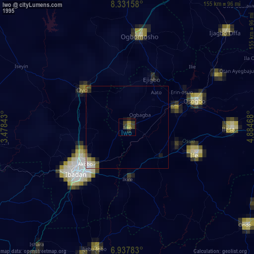
» NASA, Earths city lights 1995
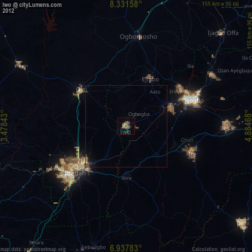
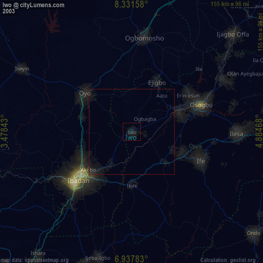
» NASA city lights 2003
» Earth at Night: Flat Maps 2012, 2016