Ukata night lights from space
Night Light of Ukata (Niger) from space (Nigeria) Src. Average luminocity for 10x10km area is 0% and for 50x50km: 0%.
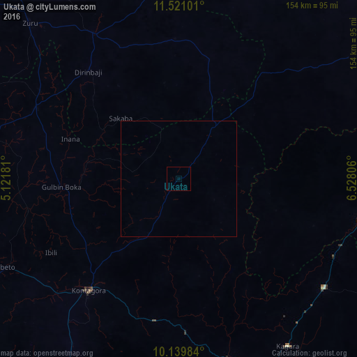
Analysis of Ukata night lights 2016
Square area 10x10 km:
100  0%
0%
90-99 0%
80-89 0%
70-79 0%
60-69 0%
50-59 0%
40-49 0%
30-39 0%
20-29 0%
10-19 0%
0-9 100%
0%90-99
0%80-89
0%70-79
0%60-69
0%50-59
0%40-49
0%30-39
0%20-29
0%10-19
0%0-9
100%Square area 50x50 km:
100 0%
90-99 0%
80-89 0%
70-79 0%
60-69 0%
50-59 0%
40-49 0%
30-39 0%
20-29 0%
10-19 0%
0-9 100%
0%90-99
0%80-89
0%70-79
0%60-69
0%50-59
0%40-49
0%30-39
0%20-29
0%10-19
0%0-9
100%Clear (daylight) street map image can be seen on geolist.org.
Map coordinates:
11° 31' 15.6" North, 5° 7' 18.5" East
10° 49' 52.4" North, 5° 49' 29.8" East
10° 8' 23.4" North, 6° 31' 41" East
Some cities around Ukata sort by population:
• Kontagora
61.3 km =38.1 mi,  219°
219°
• Rijau
69.2 km =43 mi,  296°
296°
• Ibeto
83.7 km =52 mi,  242°
242°
• Bena
51.8 km =32.2 mi,  13°
13°
• Wasagu
60.7 km =37.7 mi,  356°
356°
• Dan Sadau
89.6 km =55.7 mi,  54°
54°
• Mando
82 km =51 mi,  98°
98°
• Kusheriki
75.2 km =46.7 mi,  116°
116°
2320746 (p: 6,188)
Sources (retrieved 2019-11-25):
» Earth at Night: Flat Maps 2012, 2016