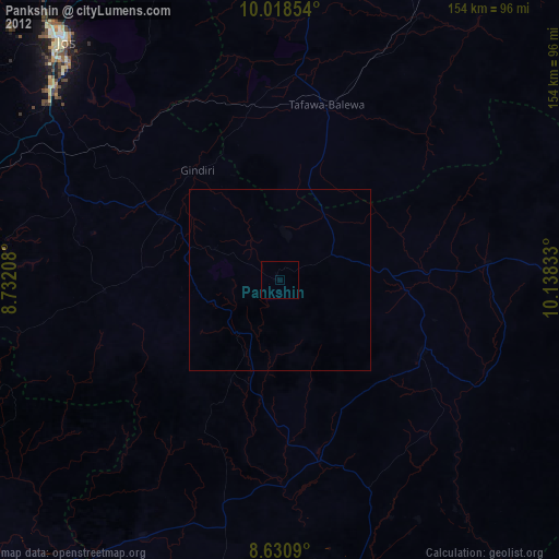
Pankshin night lights from space
Night Light of Pankshin (Plateau) from space (Nigeria) Src. Average luminocity for 10x10km area is 0% and for 50x50km: 0%.
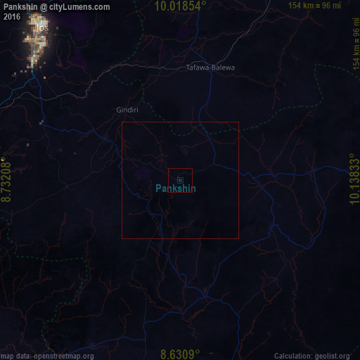
Analysis of Pankshin night lights 2016
Square area 10x10 km:
100  0%
0%
90-99 0%
80-89 0%
70-79 0%
60-69 0%
50-59 0%
40-49 0%
30-39 0%
20-29 0%
10-19 0%
0-9 100%
0%90-99
0%80-89
0%70-79
0%60-69
0%50-59
0%40-49
0%30-39
0%20-29
0%10-19
0%0-9
100%Square area 50x50 km:
100 0%
90-99 0%
80-89 0%
70-79 0%
60-69 0%
50-59 0%
40-49 0%
30-39 0%
20-29 0%
10-19 0%
0-9 100%
0%90-99
0%80-89
0%70-79
0%60-69
0%50-59
0%40-49
0%30-39
0%20-29
0%10-19
0%0-9
100%Clear (daylight) street map image can be seen on geolist.org.
Map coordinates:
10° 1' 6.7" North, 8° 43' 55.5" East
9° 19' 31.5" North, 9° 26' 6.7" East
8° 37' 51.2" North, 10° 8' 18" East
Some cities around Pankshin sort by population:
• Lere
44.1 km =27.4 mi,  346°
346°
• Langtang
44.1 km =27.4 mi,  117°
117°
• Bokkos
48.4 km =30.1 mi,  266°
266°
• Amper
29.4 km =18.3 mi,  83°
83°
• Panyam
25.8 km =16 mi,  290°
290°
• Kwolla
49.5 km =30.8 mi,  198°
198°
• Dengi
58 km =36 mi,  85°
85°
• Boi
27.2 km =16.9 mi,  15°
15°
2325060 (p: 31,516)
Sources (retrieved 2019-11-25):
» Earth at Night: Flat Maps 2012, 2016