Okahao night lights from space
Night Light of Okahao (Omusati) from space (Namibia) Src. Average luminocity for 10x10km area is 4.3463% and for 50x50km: 0.2556%.
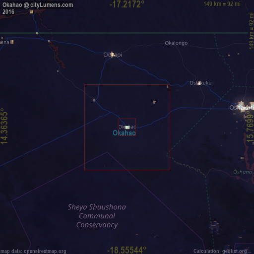
Analysis of Okahao night lights 2016
Square area 10x10 km:
 0%
0%90-99
0%80-89
2.16%70-79
1.95%60-69
0.22%50-59
0%40-49
0%30-39
0.87%20-29
0%10-19
0%0-9
94.81%Square area 50x50 km:
0%90-99
0%80-89
0.08%70-79
0.07%60-69
0.01%50-59
0.07%40-49
0.07%30-39
0.07%20-29
0.03%10-19
0.03%0-9
99.57%Clear (daylight) street map image can be seen on geolist.org.
Map coordinates:
17° 13' 1.9" South, 14° 21' 49.1" East
17° 53' 15.3" South, 15° 4' 0.4" East
18° 33' 19.6" South, 15° 46' 11.6" East
Some cities around Okahao sort by population:
• Oshakati
68.4 km =42.5 mi,  80°
80°
• Ondjiva, AO
115.5 km =71.8 mi,  37°
37°
• Ongwediva
75 km =46.6 mi, 81°
• Ondangwa
93.5 km =58.1 mi,  91°
91°
• Opuwo
131.2 km =81.5 mi,  261°
261°
• Omuthiya
168.6 km =104.8 mi,  108°
108°
• Outapi
44 km =27.3 mi,  348°
348°
• Eenhana
142.1 km =88.3 mi,  70°
70°
3354897 (p: 7,000)
Sources (retrieved 2019-11-25):
» Earth at Night: Flat Maps 2012, 2016