Lüderitz night lights from space
Night Light of Lüderitz (Karas) from space (Namibia) Src. Average luminocity for 10x10km area is 12.7633% and for 50x50km: 0.5598%.
Analysis of Lüderitz night lights 2016
Square area 10x10 km:
 1.89%
1.89%90-99
1.89%80-89
0.76%70-79
1.89%60-69
2.27%50-59
1.89%40-49
1.7%30-39
2.08%20-29
0.19%10-19
1.89%0-9
83.52%Square area 50x50 km:
0.08%90-99
0.08%80-89
0.03%70-79
0.08%60-69
0.09%50-59
0.08%40-49
0.07%30-39
0.1%20-29
0.02%10-19
0.08%0-9
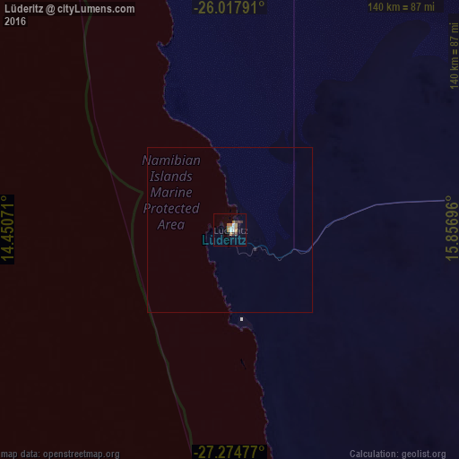
99.3%Clear (daylight) street map image can be seen on geolist.org.
Map coordinates:
26° 1' 4.5" South, 14° 27' 2.6" East
26° 38' 53.1" South, 15° 9' 13.8" East
27° 16' 29.2" South, 15° 51' 25.1" East
Some cities around Lüderitz sort by population:
• Walvis Bay
415.5 km =258.2 mi,  350°
350°
• Rehoboth
418.6 km =260.1 mi,  27°
27°
• Keetmanshoop
296.3 km =184.1 mi,  88°
88°
• Mariental
360.1 km =223.8 mi,  51°
51°
• Bethanie
199.4 km =123.9 mi,  84°
84°
• Oranjemund
246.2 km =153 mi,  149°
149°
• Warmbad
405.8 km =252.2 mi,  119°
119°
• Karasburg
386.4 km =240.1 mi,  113°
113°
3355672 (p: 15,137)
Sources (retrieved 2019-11-25):
» Earth at Night: Flat Maps 2012, 2016