Springbok night lights from space
Night Light of Springbok (Northern Cape) from space (South Africa) Src. Average luminocity for 10x10km area is 14.0675% and for 50x50km: 1.1629%.
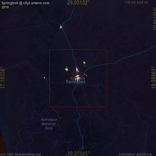
Analysis of Springbok night lights 2016
Square area 10x10 km:
 1.59%
1.59%90-99
2.38%80-89
1.19%70-79
0.6%60-69
2.38%50-59
3.77%40-49
1.59%30-39
0.79%20-29
1.59%10-19
2.98%0-9
81.15%Square area 50x50 km:
0.13%90-99
0.24%80-89
0.11%70-79
0.12%60-69
0.13%50-59
0.17%40-49
0.13%30-39
0.15%20-29
0.14%10-19
0.19%0-9
98.49%Clear (daylight) street map image can be seen on geolist.org.
Map coordinates:
29° 3' 5.5" South, 17° 11' 0.2" East
29° 39' 51.6" South, 17° 53' 11.4" East
30° 16' 24.4" South, 18° 35' 22.7" East
Some cities around Springbok sort by population:
• Upington
354.3 km =220.2 mi,  67°
67°
• Vredenburg
360.7 km =224.1 mi,  178°
178°
• Keetmanshoop, NA
343.4 km =213.4 mi,  4°
4°
• Vredendal
230.4 km =143.2 mi,  165°
165°
• Oranjemund, NA
187.8 km =116.7 mi,  311°
311°
• Calvinia
270.3 km =168 mi,  137°
137°
• Warmbad, NA
158.1 km =98.2 mi,  31°
31°
• Karasburg, NA
201.6 km =125.3 mi,  24°
24°
3361142 (p: 10,438)
Sources (retrieved 2019-11-25):
» Earth at Night: Flat Maps 2012, 2016