Taman Senai night lights from space
Night Light of Taman Senai (Johor) from space (Malaysia) Src. Average luminocity for 10x10km area is 82.9978% and for 50x50km: 42.2481%.
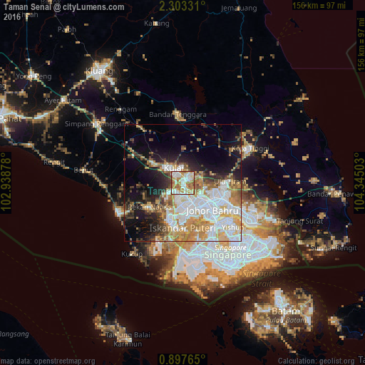
Analysis of Taman Senai night lights 2016
Square area 10x10 km:
 22.73%
90-99
24.89%80-89
6.93%70-79
20.56%60-69
16.45%50-59
6.06%40-49
2.38%30-39
0%20-29
0%10-19
0%0-9
0%Square area 50x50 km:
11.99%90-99
8.94%80-89
3.6%70-79
7.46%60-69
5.94%50-59
4%40-49
3.59%30-39
3.32%20-29
6.14%10-19
11.51%0-9
33.52%Clear (daylight) street map image can be seen on geolist.org.
Map coordinates:
2° 18' 11.9" North, 102° 56' 19.6" East
1° 36' 2.2" North, 103° 38' 30.8" East
0° 53' 51.5" North, 104° 20' 42.1" East
Some cities around Taman Senai sort by population:
• Johor Bahru
19.8 km =12.3 mi,  139°
139°
• Woodlands, SG
24.4 km =15.2 mi, 137°
• Skudai
7.2 km =4.5 mi,  165°
165°
• Kampung Pasir Gudang Baru
29.9 km =18.6 mi,  118°
118°
• Ulu Tiram
19.4 km =12.1 mi,  90°
90°
• Kulai
7.5 km =4.7 mi,  325°
325°
• Pekan Nenas
17.4 km =10.8 mi,  234°
234°
• Kelapa Sawit
14.4 km =8.9 mi,  302°
302°
1732741 (p: 73,176)
Sources (retrieved 2019-11-25):
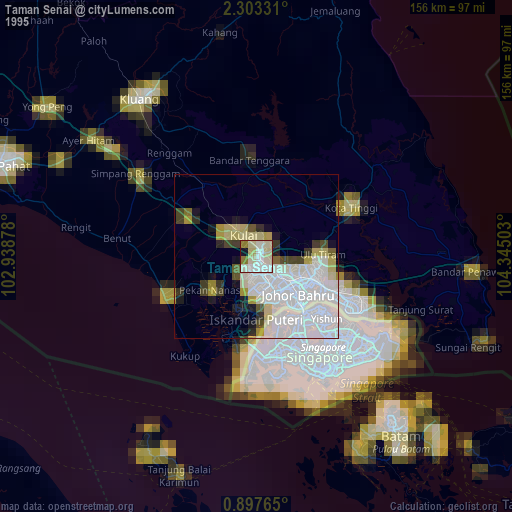
» NASA, Earths city lights 1995
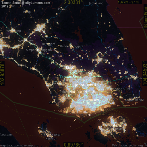
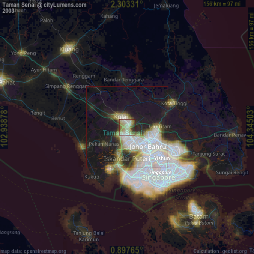
» NASA city lights 2003
» Earth at Night: Flat Maps 2012, 2016