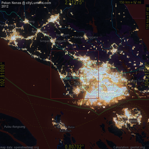
Pekan Nenas night lights from space
Night Light of Pekan Nenas (Johor) from space (Malaysia) Src. Average luminocity for 10x10km area is 40.4199% and for 50x50km: 37.5549%.
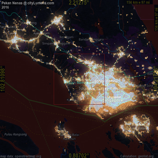
Analysis of Pekan Nenas night lights 2016
Square area 10x10 km:
 0.87%
0.87%90-99
1.73%80-89
4.55%70-79
11.04%60-69
8.66%50-59
5.63%40-49
11.26%30-39
9.09%20-29
21.43%10-19
25.32%0-9
0.43%Square area 50x50 km:
9.75%90-99
6.89%80-89
2.31%70-79
7.05%60-69
6.55%50-59
4.31%40-49
3.98%30-39
3.73%20-29
6.66%10-19
11.42%0-9
37.34%Clear (daylight) street map image can be seen on geolist.org.
Map coordinates:
2° 12' 45.9" North, 102° 48' 39.5" East
1° 30' 36" North, 103° 30' 50.8" East
0° 48' 25.3" North, 104° 13' 2" East
Some cities around Pekan Nenas sort by population:
• Johor Bahru
27.5 km =17.1 mi,  100°
100°
• Woodlands, SG
31.6 km =19.6 mi, 104°
• Skudai
16.3 km =10.1 mi,  79°
79°
• Ulu Tiram
35.1 km =21.8 mi,  73°
73°
• Taman Senai
17.4 km =10.8 mi,  54°
54°
• Kulai
19 km =11.8 mi,  31°
31°
• Pontian Kechil
14.1 km =8.8 mi,  259°
259°
• Kelapa Sawit
17.9 km =11.1 mi,  6°
6°
1732706 (p: 23,292)
Sources (retrieved 2019-11-25):
» Earth at Night: Flat Maps 2012, 2016