Bongao night lights from space
Night Light of Bongao (Autonomous Region in Muslim Mindanao) from space (Philippines) Src. Average luminocity for 10x10km area is 0.9256% and for 50x50km: 0.0384%.
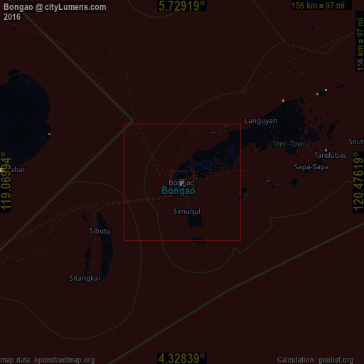
Analysis of Bongao night lights 2016
Square area 10x10 km:
 0%
0%90-99
0%80-89
0%70-79
0%60-69
0%50-59
0.83%40-49
0%30-39
0.41%20-29
1.24%10-19
0%0-9
97.52%Square area 50x50 km:
0%90-99
0%80-89
0%70-79
0%60-69
0%50-59
0.03%40-49
0%30-39
0.02%20-29
0.05%10-19
0%0-9
99.9%Clear (daylight) street map image can be seen on geolist.org.
Map coordinates:
5° 43' 45.1" North, 119° 4' 11.8" East
5° 1' 45" North, 119° 46' 23" East
4° 19' 42.2" North, 120° 28' 34.3" East
Some cities around Bongao sort by population:
• Sitangkai
58.4 km =36.3 mi,  225°
225°
• Siasi
128.8 km =80 mi,  63°
63°
• Languyan
42.8 km =26.6 mi,  52°
52°
• New Batu Batu
12.9 km =8 mi,  71°
71°
• Tampakan
12.1 km =7.5 mi,  168°
168°
• Balimbing
22.2 km =13.8 mi, 74°
• Tongouson
39.9 km =24.8 mi,  91°
91°
• Sanga-Sanga
5 km =3.1 mi,  15°
15°
1724088 (p: 26,518)
Sources (retrieved 2019-11-25):
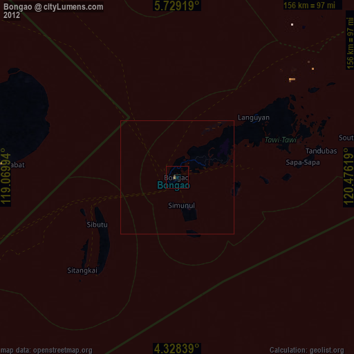
» Earth at Night: Flat Maps 2012, 2016