Gua Musang night lights from space
Night Light of Gua Musang (Kelantan) from space (Malaysia) Src. Average luminocity for 10x10km area is 12.812% and for 50x50km: 0.7473%.
Analysis of Gua Musang night lights 2016
Square area 10x10 km:
 1.03%
1.03%90-99
2.89%80-89
0.21%70-79
2.27%60-69
3.51%50-59
1.24%40-49
1.24%30-39
2.48%20-29
0%10-19
1.65%0-9
83.47%Square area 50x50 km:
0.04%90-99
0.12%80-89
0.01%70-79
0.13%60-69
0.25%50-59
0.09%40-49
0.08%30-39
0.12%20-29
0.03%10-19
0.14%0-9
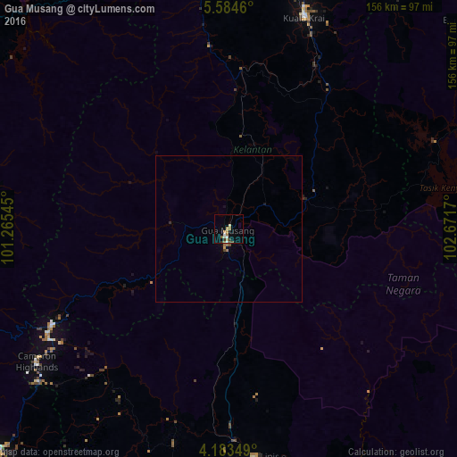
99.01%Clear (daylight) street map image can be seen on geolist.org.
Map coordinates:
5° 35' 4.6" North, 101° 15' 55.6" East
4° 53' 3.9" North, 101° 58' 6.9" East
4° 11' 0.6" North, 102° 40' 18.1" East
Some cities around Gua Musang sort by population:
• Ipoh
103.7 km =64.4 mi,  251°
251°
• Batu Gajah
112.7 km =70 mi, 245°
• Jerantut
114.1 km =70.9 mi,  157°
157°
• Tanah Merah
103.8 km =64.5 mi,  11°
11°
• Kampar
111.6 km =69.3 mi,  234°
234°
• Kuala Lipis
78.3 km =48.7 mi,  173°
173°
• Jertih
110.7 km =68.8 mi,  31°
31°
• Tanah Rata
80.6 km =50.1 mi, 234°
1734651 (p: 19,731)
Sources (retrieved 2019-11-25):
» Earth at Night: Flat Maps 2012, 2016