Chilpancingo night lights from space
Night Light of Chilpancingo (Guerrero) from space (Mexico) Src. Average luminocity for 10x10km area is 53.905% and for 50x50km: 4.4181%.
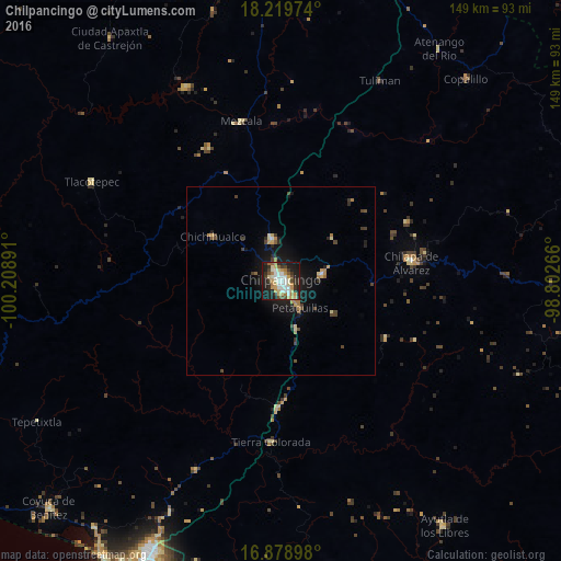
Analysis of Chilpancingo night lights 2016
Square area 10x10 km:
 9.92%
9.92%90-99
11.36%80-89
9.92%70-79
9.3%60-69
5.79%50-59
2.48%40-49
6.2%30-39
8.47%20-29
14.05%10-19
21.9%0-9
0.62%Square area 50x50 km:
0.44%90-99
0.46%80-89
0.67%70-79
0.62%60-69
0.64%50-59
0.28%40-49
0.83%30-39
0.71%20-29
1.07%10-19
3.79%0-9
90.49%Clear (daylight) street map image can be seen on geolist.org.
Map coordinates:
18° 13' 11.1" North, 100° 12' 32.1" West
17° 33' 2.2" North, 99° 30' 20.8" West
16° 52' 44.3" North, 98° 48' 9.6" West
Some cities around Chilpancingo sort by population:
• Zumpango del Río
11.8 km =7.3 mi,  348°
348°
• Tixtla de Guerrero
11.6 km =7.2 mi,  80°
80°
• Chichihualco
21.7 km =13.5 mi,  303°
303°
• Petaquillas
8.9 km =5.5 mi,  143°
143°
• Atliaca
17.9 km =11.1 mi,  51°
51°
• Quechultenango
31.8 km =19.8 mi,  118°
118°
• Mazatlán
13.4 km =8.3 mi,  161°
161°
• Mochitlán
16.8 km =10.4 mi, 121°
3530870 (p: 187,251)
Sources (retrieved 2019-11-25):
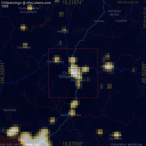
» NASA, Earths city lights 1995
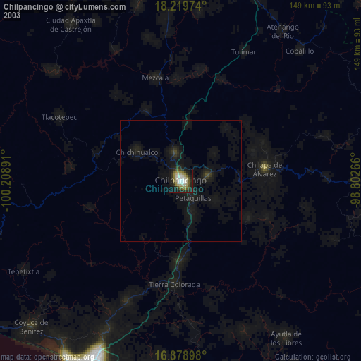
» NASA city lights 2003
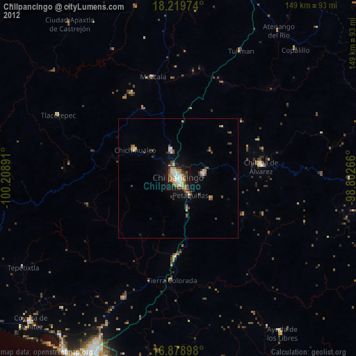
» Earth at Night: Flat Maps 2012, 2016