Zumpango del Río night lights from space
Night Light of Zumpango del Río (Guerrero) from space (Mexico) Src. Average luminocity for 10x10km area is 10.3202% and for 50x50km: 4.6049%.
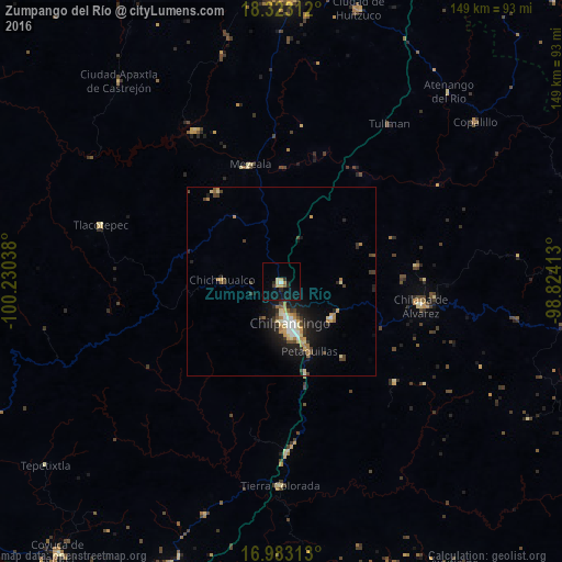
Analysis of Zumpango del Río night lights 2016
Square area 10x10 km:
 0.62%
0.62%90-99
0.21%80-89
2.27%70-79
2.07%60-69
0.62%50-59
0.83%40-49
0.41%30-39
1.45%20-29
3.1%10-19
10.54%0-9
77.89%Square area 50x50 km:
0.44%90-99
0.46%80-89
0.73%70-79
0.68%60-69
0.71%50-59
0.3%40-49
0.84%30-39
0.69%20-29
1.13%10-19
3.85%0-9
90.16%Clear (daylight) street map image can be seen on geolist.org.
Map coordinates:
18° 19' 23.2" North, 100° 13' 49.4" West
17° 39' 15.7" North, 99° 31' 38.1" West
16° 58' 59.3" North, 98° 49' 26.9" West
Some cities around Zumpango del Río sort by population:
• Chilpancingo
11.8 km =7.3 mi,  168°
168°
• Tixtla de Guerrero
16.8 km =10.4 mi,  125°
125°
• Chichihualco
15.8 km =9.8 mi,  271°
271°
• Petaquillas
20.1 km =12.5 mi,  158°
158°
• Zitlala
36.3 km =22.6 mi,  83°
83°
• Atliaca
16.2 km =10.1 mi,  91°
91°
• Mazatlán
25.1 km =15.6 mi, 164°
• Mochitlán
26.2 km =16.3 mi,  140°
140°
3513967 (p: 24,719)
Sources (retrieved 2019-11-25):
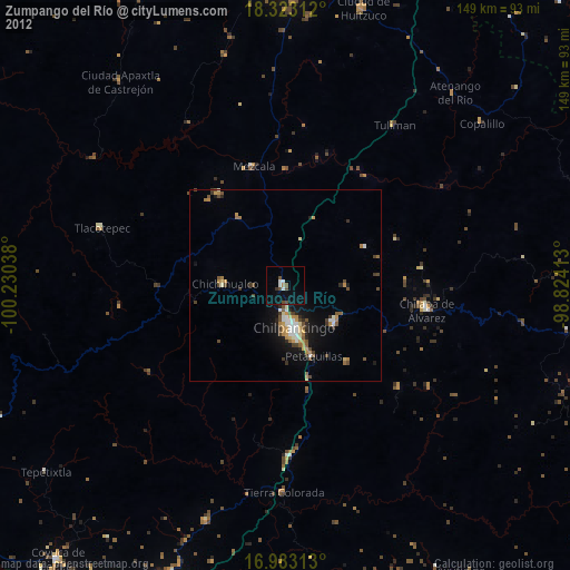
» Earth at Night: Flat Maps 2012, 2016