Xochimilco night lights from space
Night Light of Xochimilco (Mexico City) from space (Mexico) Src. Average luminocity for 10x10km area is 92.4935% and for 50x50km: 58.6717%.
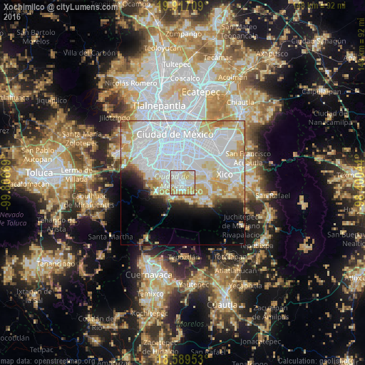
Analysis of Xochimilco night lights 2016
Square area 10x10 km:
 41.77%
90-99
25.11%80-89
19.48%70-79
12.34%60-69
1.3%50-59
0%40-49
0%30-39
0%20-29
0%10-19
0%0-9
0%Square area 50x50 km:
31.07%90-99
10.67%80-89
7.68%70-79
6.73%60-69
2.7%50-59
1.5%40-49
1.59%30-39
1.32%20-29
2.91%10-19
4.94%0-9
28.9%Clear (daylight) street map image can be seen on geolist.org.
Map coordinates:
19° 55' 1.5" North, 99° 48' 24.1" West
19° 15' 16.7" North, 99° 6' 12.8" West
18° 35' 22.3" North, 98° 24' 1.6" West
Some cities around Xochimilco sort by population:
• Tlalpan
7.6 km =4.7 mi,  306°
306°
• Tláhuac
10.9 km =6.8 mi,  70°
70°
• San Miguel Topilejo
7 km =4.3 mi,  214°
214°
• San Miguel Ajusco
11 km =6.8 mi,  250°
250°
• Milpa Alta
10.9 km =6.8 mi,  129°
129°
• San Pablo Oztotepec
8.2 km =5.1 mi,  157°
157°
• San Salvador Cuauhtenco
7 km =4.3 mi,  168°
168°
• San Pedro Atocpan
8.2 km =5.1 mi,  136°
136°
3514450 (p: 407,885)
Sources (retrieved 2019-11-25):
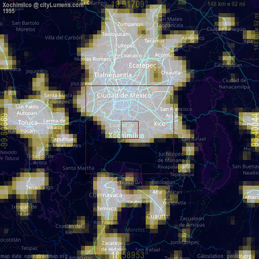
» NASA, Earths city lights 1995
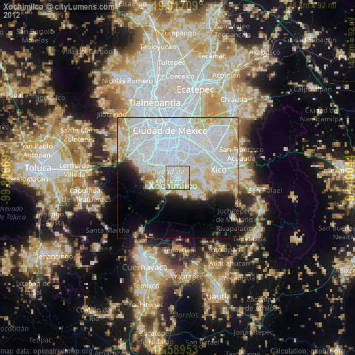
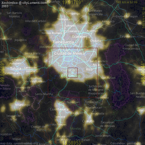
» NASA city lights 2003
» Earth at Night: Flat Maps 2012, 2016