San Miguel Topilejo night lights from space
Night Light of San Miguel Topilejo (Mexico City) from space (Mexico) Src. Average luminocity for 10x10km area is 66.4697% and for 50x50km: 48.9841%.
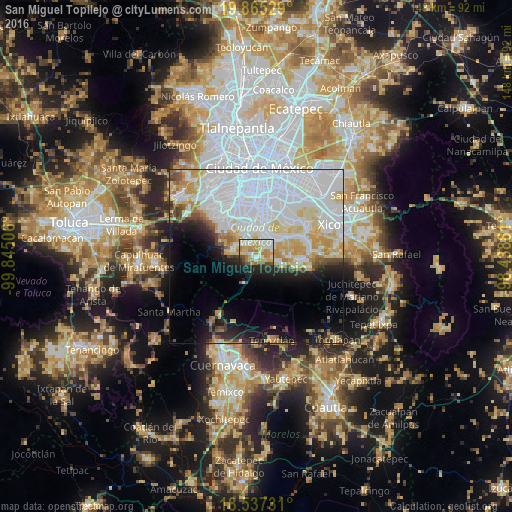
Analysis of San Miguel Topilejo night lights 2016
Square area 10x10 km:
 16.23%
90-99
13.2%80-89
13.2%70-79
15.37%60-69
6.93%50-59
1.95%40-49
7.14%30-39
3.68%20-29
15.15%10-19
7.14%0-9
0%Square area 50x50 km:
24.65%90-99
8.46%80-89
6.29%70-79
4.87%60-69
2.45%50-59
1.69%40-49
2.54%30-39
1.95%20-29
3.77%10-19
8.2%0-9
35.14%Clear (daylight) street map image can be seen on geolist.org.
Map coordinates:
19° 51' 55" North, 99° 50' 42.2" West
19° 12' 9.5" North, 99° 8' 30.9" West
18° 32' 14.3" North, 98° 26' 19.7" West
Some cities around San Miguel Topilejo sort by population:
• Tlalpan
10.5 km =6.5 mi,  348°
348°
• Xochimilco
7 km =4.3 mi,  34°
34°
• San Juan Ixtayopan
15.4 km =9.6 mi,  77°
77°
• Milpa Alta
12.5 km =7.8 mi,  95°
95°
• San Pablo Oztotepec
7.4 km =4.6 mi, 104°
• San Salvador Cuauhtenco
5.6 km =3.5 mi, 101°
• San Francisco Tecoxpa
14.3 km =8.9 mi,  94°
94°
• San Pedro Atocpan
9.7 km =6 mi, 90°
3515259 (p: 34,603)
Sources (retrieved 2019-11-25):
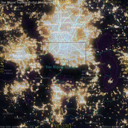
» Earth at Night: Flat Maps 2012, 2016