Xilitla night lights from space
Night Light of Xilitla (San Luis Potosí) from space (Mexico) Src. Average luminocity for 10x10km area is 5.392% and for 50x50km: 2.2787%.
Analysis of Xilitla night lights 2016
Square area 10x10 km:
 0.57%
0.57%90-99
0.19%80-89
0.57%70-79
0.95%60-69
0.76%50-59
0%40-49
3.6%30-39
0.95%20-29
0.38%10-19
1.33%0-9
90.72%Square area 50x50 km:
0.02%90-99
0.03%80-89
0.22%70-79
0.27%60-69
0.42%50-59
0.3%40-49
1.16%30-39
0.7%20-29
0.47%10-19
0.71%0-9
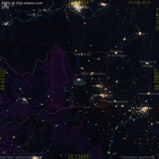
95.7%Clear (daylight) street map image can be seen on geolist.org.
Map coordinates:
22° 2' 24.1" North, 99° 41' 35.6" West
21° 23' 12.5" North, 98° 59' 24.3" West
20° 43' 50.3" North, 98° 17' 13.1" West
Some cities around Xilitla sort by population:
• Tamazunchale
25.1 km =15.6 mi,  124°
124°
• Jalpan
53.3 km =33.1 mi,  249°
249°
• Tanquián de Escobedo
41.7 km =25.9 mi,  54°
54°
• Axtla de Terrazas
13.3 km =8.3 mi,  63°
63°
• San Felipe Orizatlán
46.3 km =28.8 mi, 121°
• San Vicente Tancuayalab
55.6 km =34.5 mi, 48°
• Jaltocan
54.6 km =33.9 mi, 121°
• Tlanchinol
55.9 km =34.7 mi,  141°
141°
3514502 (p: 6,576)
Sources (retrieved 2019-11-25):
» Earth at Night: Flat Maps 2012, 2016