Tanquián de Escobedo night lights from space
Night Light of Tanquián de Escobedo (San Luis Potosí) from space (Mexico) Src. Average luminocity for 10x10km area is 4.4375% and for 50x50km: 1.0524%.
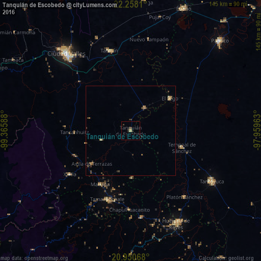
Analysis of Tanquián de Escobedo night lights 2016
Square area 10x10 km:
 0%
0%90-99
0%80-89
0.76%70-79
1.7%60-69
0.57%50-59
0%40-49
0.76%30-39
1.7%20-29
1.89%10-19
0.19%0-9
92.42%Square area 50x50 km:
0%90-99
0.02%80-89
0.14%70-79
0.19%60-69
0.3%50-59
0.09%40-49
0.42%30-39
0.3%20-29
0.22%10-19
0.21%0-9
98.1%Clear (daylight) street map image can be seen on geolist.org.
Map coordinates:
22° 15' 29.2" North, 99° 21' 57.2" West
21° 36' 21.1" North, 98° 39' 45.9" West
20° 57' 2.4" North, 97° 57' 34.7" West
Some cities around Tanquián de Escobedo sort by population:
• Tamazunchale
40.6 km =25.2 mi,  198°
198°
• Tamuín
46.1 km =28.6 mi,  344°
344°
• Tempoal de Sánchez
29.9 km =18.6 mi,  108°
108°
• Platón Sánchez
47.6 km =29.6 mi,  141°
141°
• El Higo
28.2 km =17.5 mi,  50°
50°
• Axtla de Terrazas
28.7 km =17.8 mi,  229°
229°
• Xilitla
41.7 km =25.9 mi, 234°
• San Vicente Tancuayalab
14.8 km =9.2 mi,  31°
31°
3516281 (p: 10,127)
Sources (retrieved 2019-11-25):
» Earth at Night: Flat Maps 2012, 2016