Xalapa de Enríquez night lights from space
Night Light of Xalapa de Enríquez (Veracruz) from space (Mexico) Src. Average luminocity for 10x10km area is 77.7665% and for 50x50km: 10.4612%.
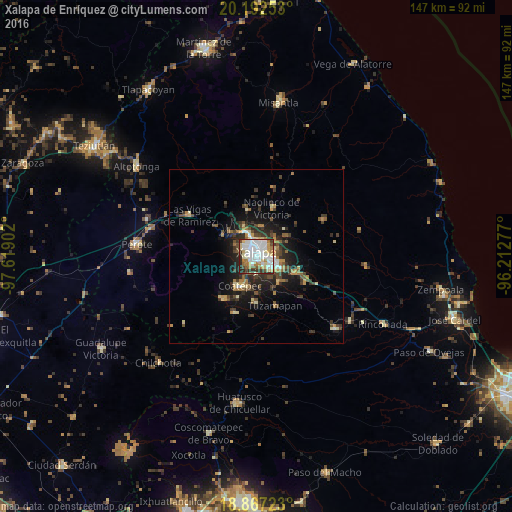
Analysis of Xalapa de Enríquez night lights 2016
Square area 10x10 km:
 30.17%
90-99
21.07%80-89
10.12%70-79
5.79%60-69
7.44%50-59
5.17%40-49
4.13%30-39
10.12%20-29
5.99%10-19
0%0-9
0%Square area 50x50 km:
1.4%90-99
1.31%80-89
1.2%70-79
1.19%60-69
1.51%50-59
1.19%40-49
2.15%30-39
2.28%20-29
3.37%10-19
6.29%0-9
78.1%Clear (daylight) street map image can be seen on geolist.org.
Map coordinates:
20° 11' 33.1" North, 97° 37' 8.5" West
19° 31' 52.5" North, 96° 54' 57.2" West
18° 52' 2" North, 96° 12' 46" West
Some cities around Xalapa de Enríquez sort by population:
• Coatepec
10 km =6.2 mi,  208°
208°
• Banderilla
6.8 km =4.2 mi,  340°
340°
• Colonia Santa Bárbara
5.1 km =3.2 mi,  129°
129°
• Jacarandas
7.7 km =4.8 mi,  120°
120°
• San Marcos de León
13 km =8.1 mi,  203°
203°
• Lomas Verdes
4.1 km =2.5 mi,  136°
136°
• Guadalupe Victoria
5.4 km =3.4 mi,  299°
299°
• El Castillo
5.7 km =3.5 mi,  72°
72°
3526617 (p: 424,755)
Sources (retrieved 2019-11-25):
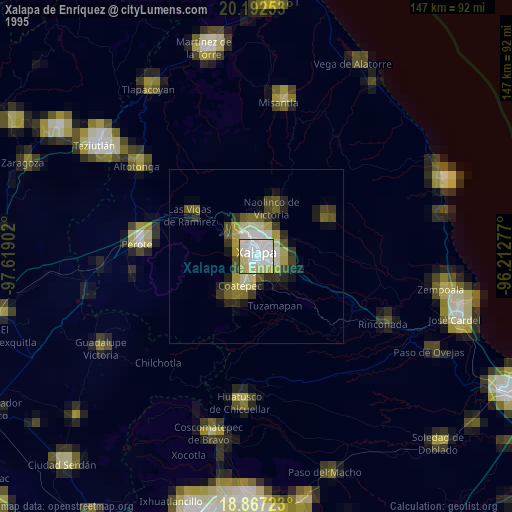
» NASA, Earths city lights 1995
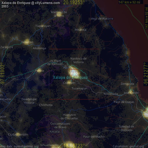
» NASA city lights 2003
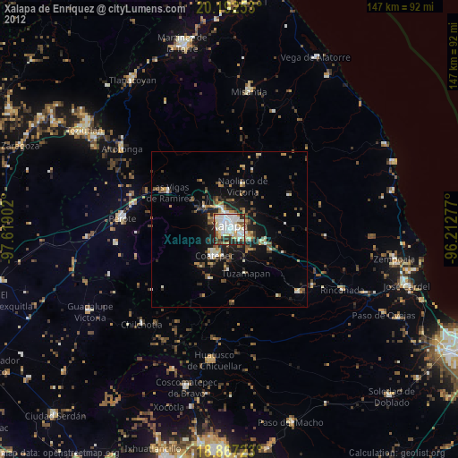
» Earth at Night: Flat Maps 2012, 2016