Valle Nacional night lights from space
Night Light of Valle Nacional (Oaxaca) from space (Mexico) Src. Average luminocity for 10x10km area is 3.9221% and for 50x50km: 0.4154%.
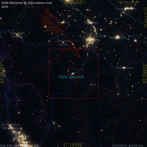
Analysis of Valle Nacional night lights 2016
Square area 10x10 km:
 0%
0%90-99
0%80-89
0.87%70-79
0.87%60-69
0%50-59
1.3%40-49
1.52%30-39
1.52%20-29
0%10-19
0.87%0-9
93.07%Square area 50x50 km:
0%90-99
0%80-89
0.03%70-79
0.03%60-69
0.03%50-59
0.14%40-49
0.2%30-39
0.2%20-29
0.11%10-19
0.03%0-9
99.21%Clear (daylight) street map image can be seen on geolist.org.
Map coordinates:
18° 26' 38.7" North, 97° 0' 17.5" West
17° 46' 32.8" North, 96° 18' 6.3" West
17° 6' 18" North, 95° 35' 55" West
Some cities around Valle Nacional sort by population:
• Tuxtepec
39.4 km =24.5 mi,  28°
28°
• Loma Bonita
57.9 km =36 mi,  50°
50°
• Tres Valles
54.4 km =33.8 mi,  18°
18°
• Playa Vicente
52.2 km =32.4 mi,  83°
83°
• Isla Soyaltepec
51 km =31.7 mi,  337°
337°
• Temascal
53 km =32.9 mi,  348°
348°
• San Lucas Ojitlán
33 km =20.5 mi, 341°
• San Felipe Jalapa de Díaz
41.1 km =25.5 mi,  323°
323°
3518722 (p: 5,488)
Sources (retrieved 2019-11-25):
» Earth at Night: Flat Maps 2012, 2016