Tequila night lights from space
Night Light of Tequila (Jalisco) from space (Mexico) Src. Average luminocity for 10x10km area is 15.2917% and for 50x50km: 4.7994%.
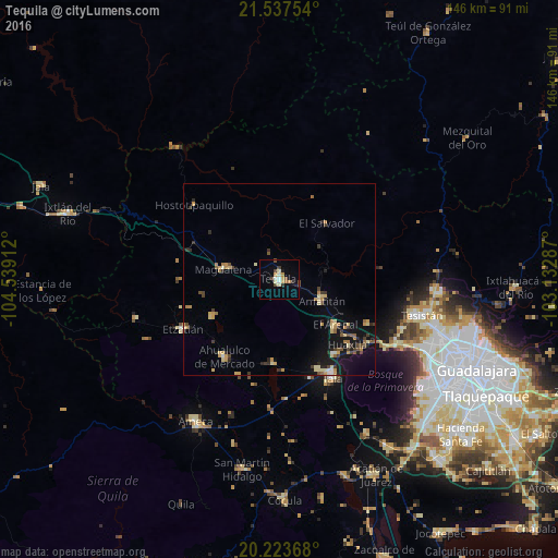
Analysis of Tequila night lights 2016
Square area 10x10 km:
 1.59%
1.59%90-99
1.98%80-89
2.18%70-79
3.57%60-69
0.99%50-59
0.79%40-49
3.57%30-39
2.18%20-29
0.2%10-19
2.18%0-9
80.75%Square area 50x50 km:
0.15%90-99
0.31%80-89
0.97%70-79
0.95%60-69
0.6%50-59
0.51%40-49
0.78%30-39
0.8%20-29
0.84%10-19
3.26%0-9
90.83%Clear (daylight) street map image can be seen on geolist.org.
Map coordinates:
21° 32' 15.1" North, 104° 32' 20.8" West
20° 52' 55.4" North, 103° 50' 9.6" West
20° 13' 25.2" North, 103° 7' 58.3" West
Some cities around Tequila sort by population:
• Magdalena
15 km =9.3 mi,  280°
280°
• Ahualulco de Mercado
24.7 km =15.3 mi,  215°
215°
• El Arenal
19 km =11.8 mi,  128°
128°
• Amatitán
12.2 km =7.6 mi,  116°
116°
• Los Ruiseñores
24.3 km =15.1 mi,  141°
141°
• El Refugio
25.5 km =15.8 mi,  156°
156°
• San Juanito de Escobedo
19.9 km =12.4 mi,  240°
240°
• Antonio Escobedo
20.9 km =13 mi, 244°
3981885 (p: 29,203)
Sources (retrieved 2019-11-25):
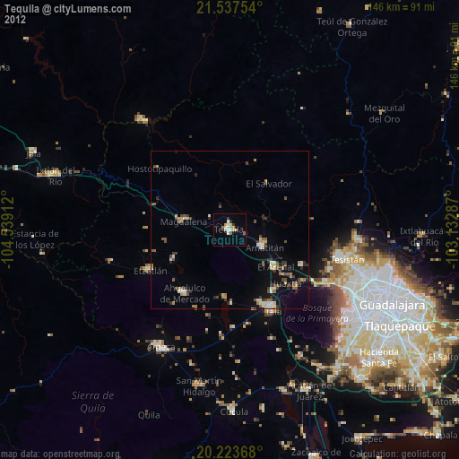
» Earth at Night: Flat Maps 2012, 2016