Tepeaca night lights from space
Night Light of Tepeaca (Puebla) from space (Mexico) Src. Average luminocity for 10x10km area is 55.9416% and for 50x50km: 27.0465%.
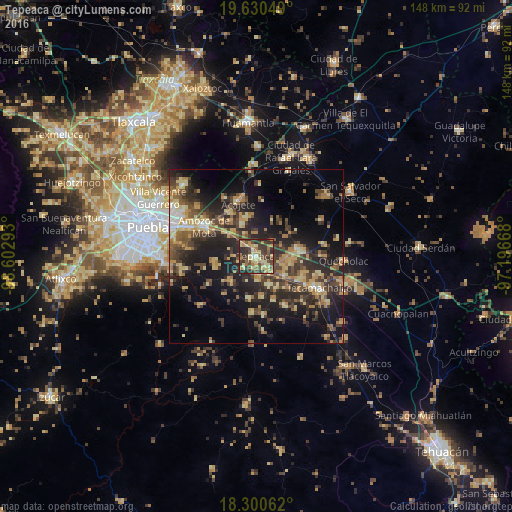
Analysis of Tepeaca night lights 2016
Square area 10x10 km:
 1.08%
1.08%90-99
2.38%80-89
21.21%70-79
8.66%60-69
10.39%50-59
4.76%40-49
20.78%30-39
18.83%20-29
11.47%10-19
0.43%0-9
0%Square area 50x50 km:
0.9%90-99
1.6%80-89
5.98%70-79
4.05%60-69
4.81%50-59
3.08%40-49
6.87%30-39
7.31%20-29
10.1%10-19
16.74%0-9
38.55%Clear (daylight) street map image can be seen on geolist.org.
Map coordinates:
19° 37' 49.8" North, 98° 36' 10.5" West
18° 58' 0.8" North, 97° 53' 59.3" West
18° 18' 2.2" North, 97° 11' 48" West
Some cities around Tepeaca sort by population:
• Los Reyes de Juárez
10.3 km =6.4 mi,  101°
101°
• San Hipólito
4 km =2.5 mi,  136°
136°
• Santiago Acatlán
4.6 km =2.9 mi,  309°
309°
• Actipan de Morelos
10.6 km =6.6 mi,  94°
94°
• Cuapiaxtla de Madero
9.8 km =6.1 mi,  125°
125°
• La Magdalena Tetela Morelos
10.1 km =6.3 mi,  334°
334°
• Hueyotlipan
9.1 km =5.7 mi,  156°
156°
• Tecali
10.5 km =6.5 mi,  225°
225°
3515904 (p: 27,449)
Sources (retrieved 2019-11-25):
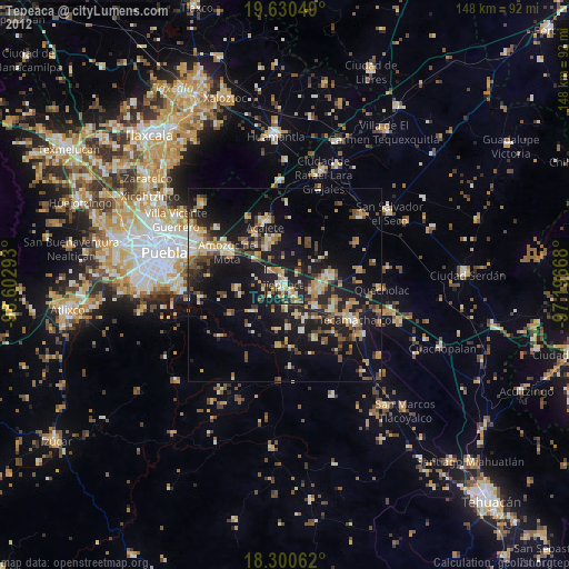
» Earth at Night: Flat Maps 2012, 2016