Teotihuacán de Arista night lights from space
Night Light of Teotihuacán de Arista (México) from space (Mexico) Src. Average luminocity for 10x10km area is 72.4298% and for 50x50km: 52.649%.
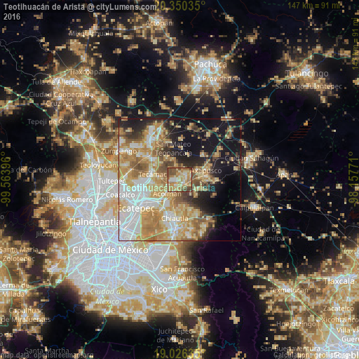
Analysis of Teotihuacán de Arista night lights 2016
Square area 10x10 km:
 6.61%
6.61%90-99
9.5%80-89
22.31%70-79
15.91%60-69
22.11%50-59
11.98%40-49
10.33%30-39
1.24%20-29
0%10-19
0%0-9
0%Square area 50x50 km:
10.53%90-99
7.87%80-89
10.87%70-79
11.25%60-69
9.54%50-59
5.63%40-49
5.04%30-39
3.86%20-29
6.3%10-19
15.5%0-9
13.62%Clear (daylight) street map image can be seen on geolist.org.
Map coordinates:
20° 21' 1.3" North, 99° 33' 50.3" West
19° 41' 23" North, 98° 51' 39" West
19° 1' 34.9" North, 98° 9' 27.8" West
Some cities around Teotihuacán de Arista sort by population:
• San Martín de las Pirámides
3.2 km =2 mi,  55°
55°
• Santa Ana Tlachiahualpa
10.1 km =6.3 mi,  330°
330°
• San Luis Tecuhautitlán
9.1 km =5.7 mi,  341°
341°
• Acolman de Netzahualcóyotl
7.4 km =4.6 mi,  221°
221°
• San Lorenzo Tlalmimilolpan
2.8 km =1.7 mi,  205°
205°
• San Sebastián Xolalpa
2.2 km =1.4 mi,  132°
132°
• Santa Catarina
9.1 km =5.7 mi,  229°
229°
• San Bartolo
5.8 km =3.6 mi, 228°
8858102 (p: 23,325)
Sources (retrieved 2019-11-25):
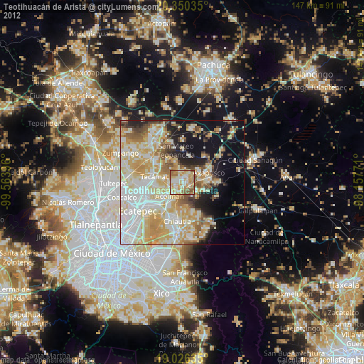
» Earth at Night: Flat Maps 2012, 2016