Tecuala night lights from space
Night Light of Tecuala (Nayarit) from space (Mexico) Src. Average luminocity for 10x10km area is 7.9072% and for 50x50km: 0.8831%.
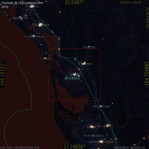
Analysis of Tecuala night lights 2016
Square area 10x10 km:
 0.38%
0.38%90-99
0.38%80-89
1.33%70-79
2.08%60-69
1.52%50-59
1.52%40-49
0%30-39
1.52%20-29
1.33%10-19
1.7%0-9
88.26%Square area 50x50 km:
0.02%90-99
0.08%80-89
0.12%70-79
0.23%60-69
0.13%50-59
0.14%40-49
0.15%30-39
0.19%20-29
0.15%10-19
0.16%0-9
98.64%Clear (daylight) street map image can be seen on geolist.org.
Map coordinates:
23° 2' 48.1" North, 106° 9' 40.4" West
22° 23' 53.3" North, 105° 27' 29.1" West
21° 44' 47.6" North, 104° 45' 17.9" West
Some cities around Tecuala sort by population:
• Escuinapa
58.4 km =36.3 mi,  325°
325°
• Tuxpan
53.3 km =33.1 mi,  162°
162°
• Acaponeta
14.4 km =8.9 mi,  42°
42°
• Santiago Ixcuintla
70 km =43.5 mi, 158°
• El Rosario
77.7 km =48.3 mi, 328°
• Ruíz
59.3 km =36.8 mi,  146°
146°
• Villa Hidalgo
76.6 km =47.6 mi, 162°
• Isla del Bosque
54.5 km =33.9 mi,  313°
313°
3982168 (p: 14,511)
Sources (retrieved 2019-11-25):
» Earth at Night: Flat Maps 2012, 2016