Tuxpan night lights from space
Night Light of Tuxpan (Nayarit) from space (Mexico) Src. Average luminocity for 10x10km area is 6.7421% and for 50x50km: 1.5096%.
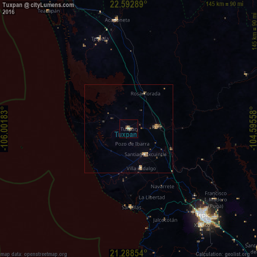
Analysis of Tuxpan night lights 2016
Square area 10x10 km:
 0%
0%90-99
0.6%80-89
0.99%70-79
1.59%60-69
1.59%50-59
0.79%40-49
2.18%30-39
0.99%20-29
0.79%10-19
0%0-9
90.48%Square area 50x50 km:
0.05%90-99
0.04%80-89
0.2%70-79
0.32%60-69
0.29%50-59
0.27%40-49
0.52%30-39
0.23%20-29
0.25%10-19
0.25%0-9
97.58%Clear (daylight) street map image can be seen on geolist.org.
Map coordinates:
22° 35' 34.4" North, 106° 0' 6.6" West
21° 56' 32" North, 105° 17' 55.3" West
21° 17' 18.7" North, 104° 35' 44.1" West
Some cities around Tuxpan sort by population:
• Tepic
63.6 km =39.5 mi,  139°
139°
• Acaponeta
61.7 km =38.3 mi,  353°
353°
• Santiago Ixcuintla
17.1 km =10.6 mi,  147°
147°
• Tecuala
53.3 km =33.1 mi,  342°
342°
• Ruíz
16 km =9.9 mi,  86°
86°
• San Blas
44.4 km =27.6 mi,  178°
178°
• Villa Hidalgo
23.3 km =14.5 mi,  162°
162°
• Puga
63.2 km =39.3 mi,  129°
129°
3980841 (p: 21,709)
Sources (retrieved 2019-11-25):
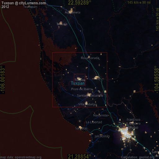
» Earth at Night: Flat Maps 2012, 2016