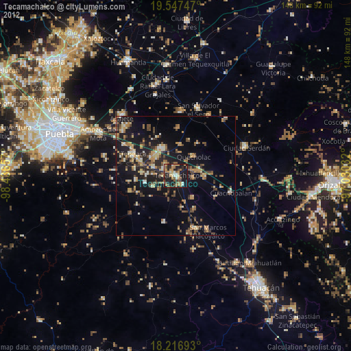
Tecamachalco night lights from space
Night Light of Tecamachalco (Puebla) from space (Mexico) Src. Average luminocity for 10x10km area is 55.4134% and for 50x50km: 19.9529%.
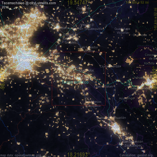
Analysis of Tecamachalco night lights 2016
Square area 10x10 km:
 2.81%
2.81%90-99
2.81%80-89
18.4%70-79
10.39%60-69
11.47%50-59
4.11%40-49
14.5%30-39
18.18%20-29
16.88%10-19
0.43%0-9
0%Square area 50x50 km:
0.16%90-99
0.65%80-89
4.16%70-79
3.04%60-69
4.35%50-59
2.14%40-49
5.29%30-39
5.97%20-29
7.59%10-19
13.08%0-9
53.57%Clear (daylight) street map image can be seen on geolist.org.
Map coordinates:
19° 32' 50.9" North, 98° 26' 11.7" West
18° 53' 0.7" North, 97° 44' 0.4" West
18° 13' 0.9" North, 97° 1' 49.2" West
Some cities around Tecamachalco sort by population:
• Palmarito Tochapan
10.2 km =6.3 mi,  78°
78°
• Los Reyes de Juárez
10.4 km =6.5 mi,  314°
314°
• Huixcolotla
5.8 km =3.6 mi,  315°
315°
• Tlaixpan
3.2 km =2 mi,  351°
351°
• Santiago Alseseca
5.1 km =3.2 mi,  147°
147°
• Cuapiaxtla de Madero
10.1 km =6.3 mi,  290°
290°
• Tochtepec
10.6 km =6.6 mi,  242°
242°
• San Martín Caltenco
9 km =5.6 mi,  270°
270°
3516188 (p: 28,679)
Sources (retrieved 2019-11-25):
» Earth at Night: Flat Maps 2012, 2016