Santa Cruz Xoxocotlán night lights from space
Night Light of Santa Cruz Xoxocotlán (Oaxaca) from space (Mexico) Src. Average luminocity for 10x10km area is 81.3095% and for 50x50km: 18.4102%.
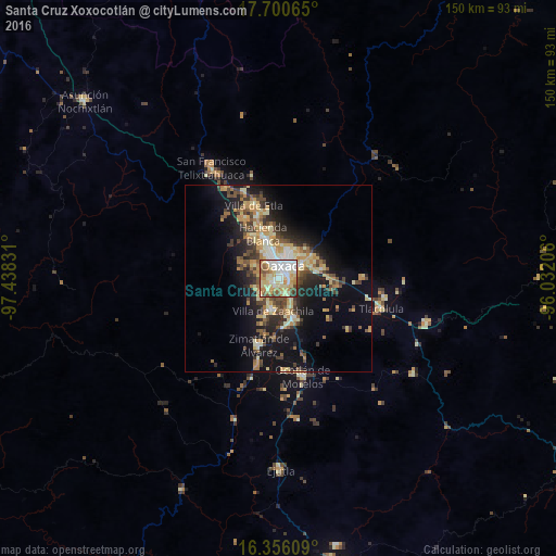
Analysis of Santa Cruz Xoxocotlán night lights 2016
Square area 10x10 km:
 16.88%
90-99
25.32%80-89
18.83%70-79
16.02%60-69
8.01%50-59
6.71%40-49
6.49%30-39
1.52%20-29
0.22%10-19
0%0-9
0%Square area 50x50 km:
1.39%90-99
2.76%80-89
3.28%70-79
3.59%60-69
2.58%50-59
1.88%40-49
3.65%30-39
2.82%20-29
4.35%10-19
11.31%0-9
62.39%Clear (daylight) street map image can be seen on geolist.org.
Map coordinates:
17° 42' 2.3" North, 97° 26' 17.9" West
17° 1' 46.5" North, 96° 44' 6.6" West
16° 21' 21.9" North, 96° 1' 55.4" West
Some cities around Santa Cruz Xoxocotlán sort by population:
• Oaxaca
4.2 km =2.6 mi,  17°
17°
• San Antonio de la Cal
3.6 km =2.2 mi,  90°
90°
• Villa de Zaachila
8.9 km =5.5 mi,  189°
189°
• San Jacinto Amilpas
8.5 km =5.3 mi,  340°
340°
• Cuilapan de Guerrero
7.5 km =4.7 mi,  219°
219°
• El Rosario
4.8 km =3 mi,  72°
72°
• Tlalixtac de Cabrera
10.4 km =6.5 mi,  63°
63°
• San Agustín de las Juntas
3.2 km =2 mi,  128°
128°
3517517 (p: 67,086)
Sources (retrieved 2019-11-25):
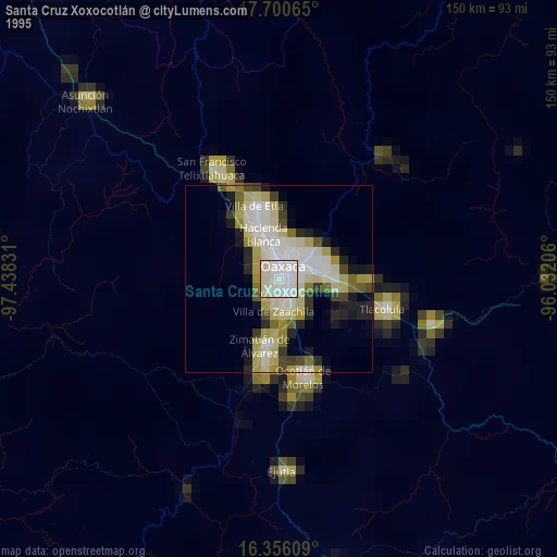
» NASA, Earths city lights 1995
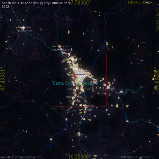
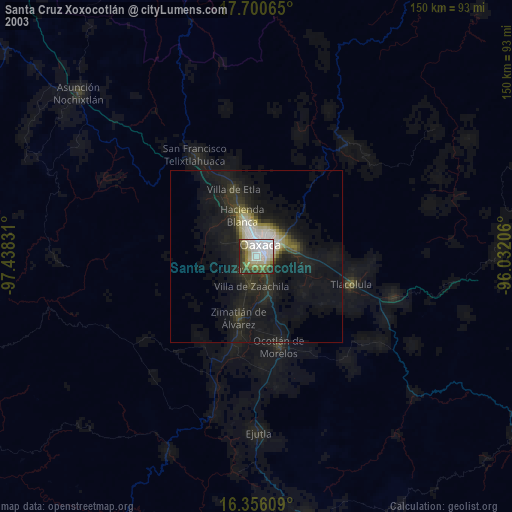
» NASA city lights 2003
» Earth at Night: Flat Maps 2012, 2016