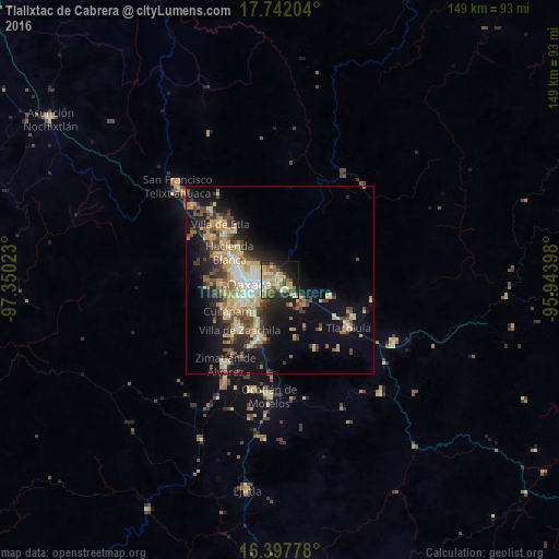
Tlalixtac de Cabrera night lights from space
Night Light of Tlalixtac de Cabrera (Oaxaca) from space (Mexico) Src. Average luminocity for 10x10km area is 52.5909% and for 50x50km: 18.7965%.
Analysis of Tlalixtac de Cabrera night lights 2016
Square area 10x10 km:
 3.46%
3.46%90-99
7.58%80-89
12.99%70-79
14.5%60-69
8.44%50-59
6.06%40-49
9.09%30-39
6.71%20-29
10.61%10-19
16.88%0-9
3.68%Square area 50x50 km:
1.41%90-99
2.89%80-89
3.32%70-79
3.63%60-69
2.54%50-59
1.92%40-49
3.79%30-39
2.93%20-29
4.35%10-19
11.47%0-9
61.76%Clear (daylight) street map image can be seen on geolist.org.
Map coordinates:
17° 44' 31.3" North, 97° 21' 0.8" West
17° 4' 16" North, 96° 38' 49.6" West
16° 23' 52" North, 95° 56' 38.3" West
Some cities around Tlalixtac de Cabrera sort by population:
• Oaxaca
8.2 km =5.1 mi,  265°
265°
• Santa Cruz Xoxocotlán
10.4 km =6.5 mi,  243°
243°
• San Antonio de la Cal
7.4 km =4.6 mi,  230°
230°
• San Jacinto Amilpas
12.7 km =7.9 mi,  285°
285°
• El Rosario
5.7 km =3.5 mi, 236°
• Santa Cruz Amilpas
4.1 km =2.5 mi,  249°
249°
• Santa María del Tule
2.9 km =1.8 mi,  155°
155°
• San Agustín de las Juntas
9.5 km =5.9 mi, 226°
3515442 (p: 8,881)
Sources (retrieved 2019-11-25):
» Earth at Night: Flat Maps 2012, 2016