San Patricio night lights from space
Night Light of San Patricio (Jalisco) from space (Mexico) Src. Average luminocity for 10x10km area is 12.868% and for 50x50km: 0.9914%.
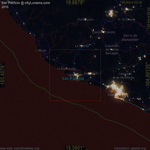
Analysis of San Patricio night lights 2016
Square area 10x10 km:
 0%
0%90-99
0%80-89
2.38%70-79
2.38%60-69
2.6%50-59
2.81%40-49
4.33%30-39
4.55%20-29
0.43%10-19
0%0-9
80.52%Square area 50x50 km:
0%90-99
0%80-89
0.19%70-79
0.09%60-69
0.26%50-59
0.18%40-49
0.38%30-39
0.23%20-29
0.21%10-19
0.1%0-9
98.37%Clear (daylight) street map image can be seen on geolist.org.
Map coordinates:
19° 53' 16.4" North, 105° 24' 27.4" West
19° 13' 31.2" North, 104° 42' 16.1" West
18° 33' 36.4" North, 104° 0' 4.9" West
Some cities around San Patricio sort by population:
• Manzanillo
39.9 km =24.8 mi,  107°
107°
• Autlán de Navarro
70 km =43.5 mi,  30°
30°
• Cihuatlán
14.7 km =9.1 mi,  85°
85°
• La Resolana
50.9 km =31.6 mi, 33°
• El Colomo
50.3 km =31.3 mi, 111°
• La Huerta
29.5 km =18.3 mi,  12°
12°
• Las Juntas
22.8 km =14.2 mi,  359°
359°
• La Tijera
81.5 km =50.6 mi,  23°
23°
3985168 (p: 7,569)
Sources (retrieved 2019-11-25):
» Earth at Night: Flat Maps 2012, 2016