Manzanillo night lights from space
Night Light of Manzanillo (Colima) from space (Mexico) Src. Average luminocity for 10x10km area is 58.3506% and for 50x50km: 7.3807%.
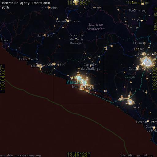

Analysis of Manzanillo night lights 2016
Square area 10x10 km:
 11.04%
90-99
12.12%80-89
6.49%70-79
10.61%60-69
6.28%50-59
10.61%40-49
10.39%30-39
10.61%20-29
11.9%10-19
9.96%0-9
0%Square area 50x50 km:
0.71%90-99
0.85%80-89
0.98%70-79
1.37%60-69
1.2%50-59
1.07%40-49
1.45%30-39
1.23%20-29
1.99%10-19
4.12%0-9
85.03%Clear (daylight) street map image can be seen on geolist.org.
Map coordinates:
19° 46' 47.8" North, 105° 2' 43" West
19° 7' 1" North, 104° 20' 31.7" West
18° 27' 4.6" North, 103° 38' 20.5" West
Some cities around Manzanillo sort by population:
• Tecomán
53.6 km =33.3 mi,  114°
114°
• Cihuatlán
26.9 km =16.7 mi,  299°
299°
• Ciudad de Armería
44.4 km =27.6 mi,  116°
116°
• El Colomo
10.8 km =6.7 mi,  125°
125°
• La Huerta
51.7 km =32.1 mi,  322°
322°
• San Patricio
39.9 km =24.8 mi,  287°
287°
• Las Juntas
51.8 km =32.2 mi,  312°
312°
• Cofradía de Juárez
44.1 km =27.4 mi, 112°
3996663 (p: 130,035)
Sources (retrieved 2019-11-25):
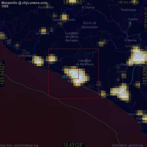
» NASA, Earths city lights 1995
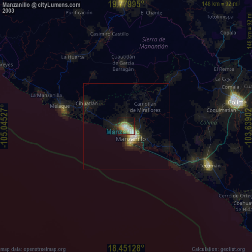
» NASA city lights 2003
» Earth at Night: Flat Maps 2012, 2016