San Luis night lights from space
Night Light of San Luis (Baja California) from space (Mexico) Src. Average luminocity for 10x10km area is 72.7711% and for 50x50km: 29.8807%.
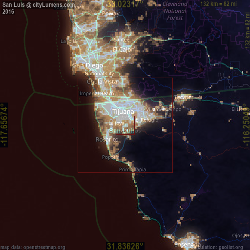
Analysis of San Luis night lights 2016
Square area 10x10 km:
 17.95%
90-99
18.5%80-89
5.13%70-79
9.16%60-69
18.68%50-59
14.1%40-49
7.88%30-39
4.58%20-29
3.48%10-19
0.55%0-9
0%Square area 50x50 km:
6.53%90-99
6.61%80-89
2.56%70-79
3.59%60-69
6.64%50-59
4.14%40-49
3.48%30-39
2.62%20-29
4.23%10-19
9.48%0-9
50.12%Clear (daylight) street map image can be seen on geolist.org.
Map coordinates:
33° 1' 23.4" North, 117° 39' 24.3" West
32° 25' 54" North, 116° 57' 13" West
31° 50' 10.5" North, 116° 15' 1.8" West
Some cities around San Luis sort by population:
• Tijuana
9.2 km =5.7 mi,  329°
329°
• Rosarito
11.8 km =7.3 mi,  227°
227°
• Pórticos de San Antonio
7.7 km =4.8 mi,  279°
279°
• Rancho La Gloria
4.7 km =2.9 mi,  289°
289°
• Terrazas del Valle
13.4 km =8.3 mi,  62°
62°
• Villa del Prado 2da Sección
1.9 km =1.2 mi,  242°
242°
• Las Delicias
2.7 km =1.7 mi,  159°
159°
• Quinta del Cedro
10.6 km =6.6 mi,  273°
273°
8599025 (p: 8,571)
Sources (retrieved 2019-11-25):
» Earth at Night: Flat Maps 2012, 2016