San José del Valle night lights from space
Night Light of San José del Valle (Jalisco) from space (Mexico) Src. Average luminocity for 10x10km area is 42.2557% and for 50x50km: 8.4342%.
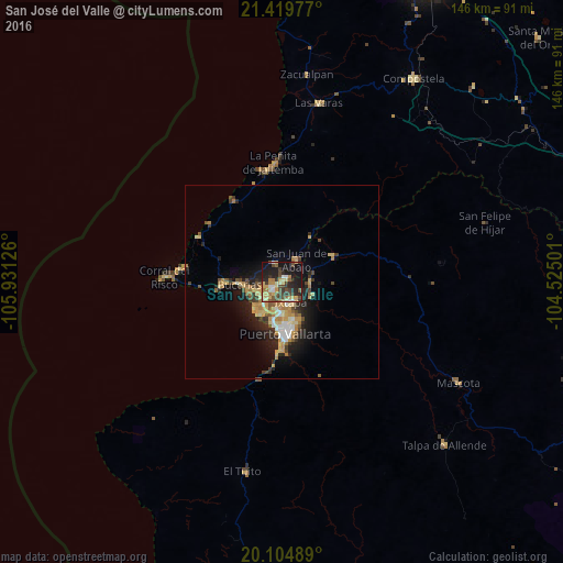
Analysis of San José del Valle night lights 2016
Square area 10x10 km:
 2.46%
2.46%90-99
3.79%80-89
11.55%70-79
7.39%60-69
5.11%50-59
3.98%40-49
11.36%30-39
9.66%20-29
12.69%10-19
27.84%0-9
4.17%Square area 50x50 km:
0.64%90-99
0.96%80-89
1.64%70-79
1.7%60-69
1.17%50-59
0.76%40-49
1.46%30-39
1.3%20-29
2.47%10-19
5.54%0-9
82.35%Clear (daylight) street map image can be seen on geolist.org.
Map coordinates:
21° 25' 11.2" North, 105° 55' 52.5" West
20° 45' 49.5" North, 105° 13' 41.3" West
20° 6' 17.6" North, 104° 31' 30" West
Some cities around San José del Valle sort by population:
• Ixtapa
5.8 km =3.6 mi,  155°
155°
• Mezcales
6.7 km =4.2 mi,  237°
237°
• San Vicente
2.8 km =1.7 mi,  234°
234°
• Bucerías
11.1 km =6.9 mi,  265°
265°
• Las Juntas
7.2 km =4.5 mi,  194°
194°
• Valle de Banderas
5.3 km =3.3 mi,  337°
337°
• Las Jarretaderas
9.2 km =5.7 mi,  210°
210°
• El Porvenir
1.8 km =1.1 mi, 232°
4029308 (p: 22,541)
Sources (retrieved 2019-11-25):
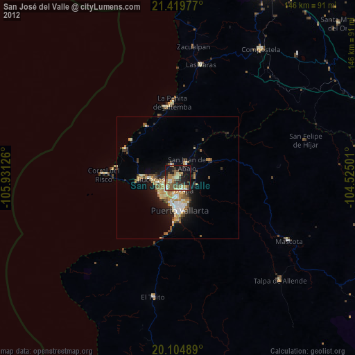
» Earth at Night: Flat Maps 2012, 2016