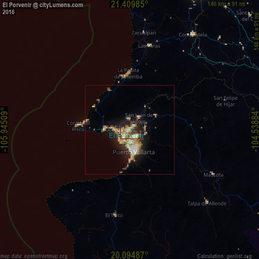
El Porvenir night lights from space
Night Light of El Porvenir (Jalisco) from space (Mexico) Src. Average luminocity for 10x10km area is 50.9697% and for 50x50km: 8.55%.
Analysis of El Porvenir night lights 2016
Square area 10x10 km:
 3.79%
3.79%90-99
5.3%80-89
14.02%70-79
11.36%60-69
8.71%50-59
4.55%40-49
10.61%30-39
10.04%20-29
12.31%10-19
19.13%0-9
0.19%Square area 50x50 km:
0.64%90-99
0.96%80-89
1.66%70-79
1.76%60-69
1.17%50-59
0.79%40-49
1.49%30-39
1.32%20-29
2.47%10-19
5.56%0-9
82.18%Clear (daylight) street map image can be seen on geolist.org.
Map coordinates:
21° 24' 35.5" North, 105° 56' 42.3" West
20° 45' 13.6" North, 105° 14' 31.1" West
20° 5' 41.5" North, 104° 32' 19.8" West
Some cities around El Porvenir sort by population:
• Ixtapa
5.7 km =3.5 mi,  137°
137°
• San José del Valle
1.8 km =1.1 mi,  52°
52°
• Mezcales
4.9 km =3 mi,  238°
238°
• San Vicente
1 km =0.6 mi, 236°
• San Juan de Abajo
8.6 km =5.3 mi,  37°
37°
• Las Juntas
5.8 km =3.6 mi,  183°
183°
• Valle de Banderas
6.1 km =3.8 mi,  353°
353°
• Las Jarretaderas
7.6 km =4.7 mi,  205°
205°
4029309 (p: 6,046)
Sources (retrieved 2019-11-25):
» Earth at Night: Flat Maps 2012, 2016