Bucerías night lights from space
Night Light of Bucerías (Nayarit) from space (Mexico) Src. Average luminocity for 10x10km area is 25.5341% and for 50x50km: 8.9028%.
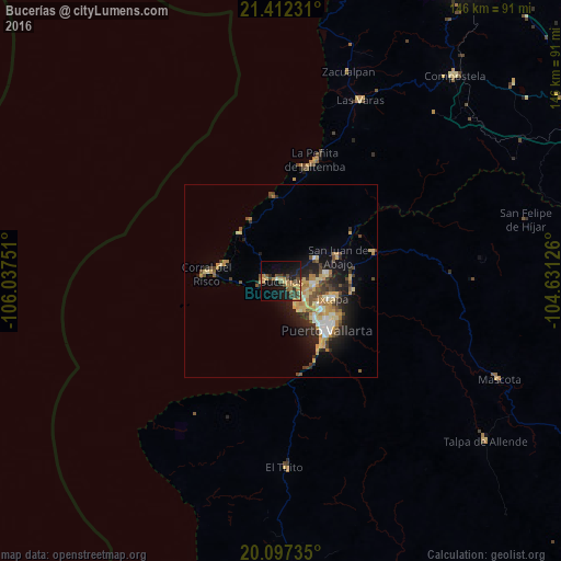
Analysis of Bucerías night lights 2016
Square area 10x10 km:
 0%
0%90-99
0.76%80-89
4.55%70-79
5.3%60-69
5.3%50-59
2.46%40-49
8.14%30-39
5.11%20-29
6.63%10-19
25.76%0-9
35.98%Square area 50x50 km:
0.64%90-99
0.96%80-89
1.73%70-79
1.87%60-69
1.23%50-59
0.88%40-49
1.53%30-39
1.36%20-29
2.54%10-19
5.66%0-9
81.61%Clear (daylight) street map image can be seen on geolist.org.
Map coordinates:
21° 24' 44.3" North, 106° 2' 15" West
20° 45' 22.5" North, 105° 20' 3.8" West
20° 5' 50.5" North, 104° 37' 52.5" West
Some cities around Bucerías sort by population:
• Ixtapa
14.2 km =8.8 mi,  108°
108°
• San José del Valle
11.1 km =6.9 mi,  85°
85°
• Mezcales
6.1 km =3.8 mi,  117°
117°
• San Vicente
8.8 km =5.5 mi,  95°
95°
• Las Juntas
11 km =6.8 mi, 123°
• Valle de Banderas
10.6 km =6.6 mi,  57°
57°
• Las Jarretaderas
9.5 km =5.9 mi,  138°
138°
• El Porvenir
9.6 km =6 mi, 91°
4016734 (p: 13,098)
Sources (retrieved 2019-11-25):
» Earth at Night: Flat Maps 2012, 2016