San Francisco Acuautla night lights from space
Night Light of San Francisco Acuautla (México) from space (Mexico) Src. Average luminocity for 10x10km area is 77.5% and for 50x50km: 53.9005%.
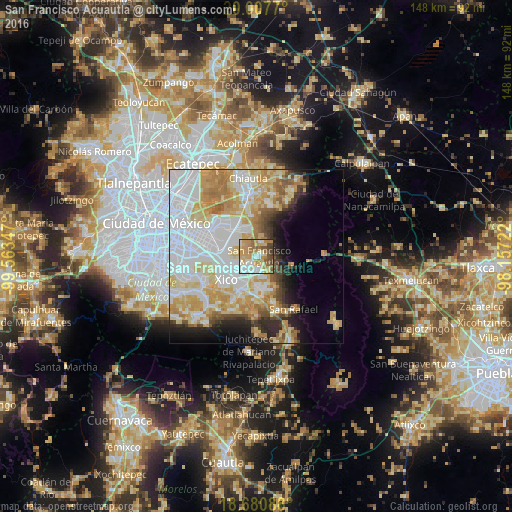
Analysis of San Francisco Acuautla night lights 2016
Square area 10x10 km:
 16.32%
90-99
14.26%80-89
17.98%70-79
18.6%60-69
14.26%50-59
7.85%40-49
8.68%30-39
2.07%20-29
0%10-19
0%0-9
0%Square area 50x50 km:
18.21%90-99
10.01%80-89
9.83%70-79
9.53%60-69
6.16%50-59
3.06%40-49
3.25%30-39
2.54%20-29
4.35%10-19
6.39%0-9
26.67%Clear (daylight) street map image can be seen on geolist.org.
Map coordinates:
20° 0' 27.7" North, 99° 33' 48.5" West
19° 20' 44.3" North, 98° 51' 37.2" West
18° 40' 51.2" North, 98° 9' 26" West
Some cities around San Francisco Acuautla sort by population:
• Ixtapaluca
4.1 km =2.5 mi,  215°
215°
• San Buenaventura
4.8 km =3 mi,  183°
183°
• San Jerónimo Cuatro Vientos
6.2 km =3.9 mi,  161°
161°
• San Martín Cuautlalpan
8.3 km =5.2 mi, 158°
• San Marcos Huixtoco
5.5 km =3.4 mi, 183°
• Jorge Jiménez Cantú
4.2 km =2.6 mi, 160°
• Coatepec
4.6 km =2.9 mi,  19°
19°
• San José las Palmas
8.1 km =5 mi,  287°
287°
3519290 (p: 27,960)
Sources (retrieved 2019-11-25):
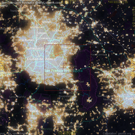
» Earth at Night: Flat Maps 2012, 2016