San Buenaventura night lights from space
Night Light of San Buenaventura (México) from space (Mexico) Src. Average luminocity for 10x10km area is 89.0043% and for 50x50km: 49.3638%.
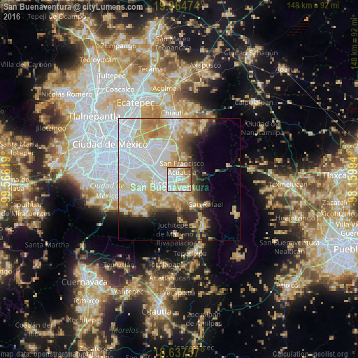
Analysis of San Buenaventura night lights 2016
Square area 10x10 km:
 31.6%
31.6%90-99
26.84%80-89
18.18%70-79
12.99%60-69
4.11%50-59
4.76%40-49
1.52%30-39
0%20-29
0%10-19
0%0-9
0%Square area 50x50 km:
16.76%90-99
9.18%80-89
8.86%70-79
7.98%60-69
5.34%50-59
2.85%40-49
3.35%30-39
2.47%20-29
4.86%10-19
7.47%0-9
30.88%Clear (daylight) street map image can be seen on geolist.org.
Map coordinates:
19° 57' 53.1" North, 99° 33' 58.3" West
19° 18' 9" North, 98° 51' 47" West
18° 38' 15.3" North, 98° 9' 35.8" West
Some cities around San Buenaventura sort by population:
• Ixtapaluca
2.5 km =1.6 mi,  304°
304°
• Chalco
5.8 km =3.6 mi,  218°
218°
• San Jerónimo Cuatro Vientos
2.5 km =1.6 mi,  115°
115°
• San Francisco Acuautla
4.8 km =3 mi,  3°
3°
• San Martín Cuautlalpan
4.4 km =2.7 mi,  131°
131°
• San Gregorio Cuautzingo
4.8 km =3 mi,  172°
172°
• San Marcos Huixtoco
0.7 km =0.4 mi,  185°
185°
• Jorge Jiménez Cantú
1.9 km =1.2 mi,  64°
64°
8858089 (p: 44,761)
Sources (retrieved 2019-11-25):
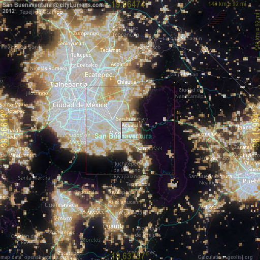
» Earth at Night: Flat Maps 2012, 2016