Ixtapaluca night lights from space
Night Light of Ixtapaluca (México) from space (Mexico) Src. Average luminocity for 10x10km area is 92.0021% and for 50x50km: 54.354%.
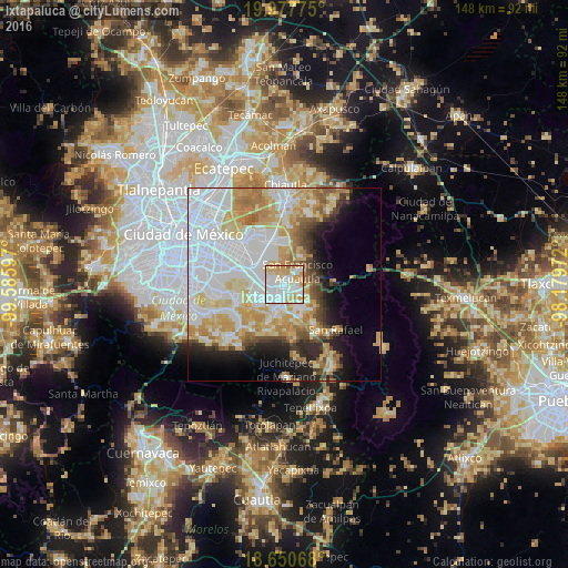
Analysis of Ixtapaluca night lights 2016
Square area 10x10 km:
 38.43%
90-99
25.62%80-89
19.21%70-79
13.84%60-69
2.48%50-59
0.41%40-49
0%30-39
0%20-29
0%10-19
0%0-9
0%Square area 50x50 km:
20.37%90-99
9.78%80-89
9.1%70-79
8.48%60-69
5.66%50-59
3.02%40-49
3.38%30-39
2.56%20-29
4.71%10-19
7.33%0-9
25.6%Clear (daylight) street map image can be seen on geolist.org.
Map coordinates:
19° 58' 39.9" North, 99° 35' 9.5" West
19° 18' 56" North, 98° 52' 58.2" West
18° 39' 2.4" North, 98° 10' 47" West
Some cities around Ixtapaluca sort by population:
• Chalco
6.2 km =3.9 mi,  194°
194°
• San Buenaventura
2.5 km =1.6 mi,  124°
124°
• San Jerónimo Cuatro Vientos
5 km =3.1 mi, 120°
• San Francisco Acuautla
4.1 km =2.5 mi,  35°
35°
• San Martín Cuautlalpan
6.9 km =4.3 mi,  129°
129°
• San Gregorio Cuautzingo
6.8 km =4.2 mi,  156°
156°
• San Marcos Huixtoco
2.9 km =1.8 mi,  136°
136°
• Jorge Jiménez Cantú
3.9 km =2.4 mi,  99°
99°
3526682 (p: 322,271)
Sources (retrieved 2019-11-25):
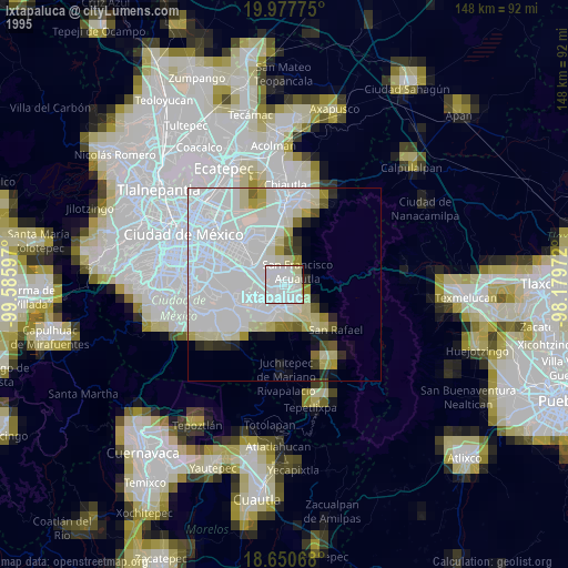
» NASA, Earths city lights 1995
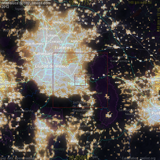
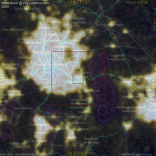
» NASA city lights 2003
» Earth at Night: Flat Maps 2012, 2016