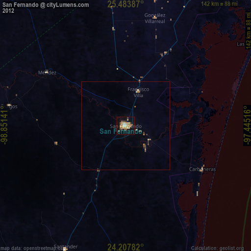
San Fernando night lights from space
Night Light of San Fernando (Tamaulipas) from space (Mexico) Src. Average luminocity for 10x10km area is 28.089% and for 50x50km: 1.7974%.
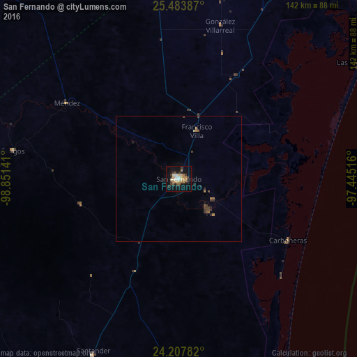
Analysis of San Fernando night lights 2016
Square area 10x10 km:
 2.27%
2.27%90-99
4.92%80-89
3.6%70-79
5.49%60-69
4.17%50-59
2.08%40-49
3.22%30-39
6.06%20-29
1.33%10-19
26.89%0-9
39.96%Square area 50x50 km:
0.09%90-99
0.2%80-89
0.15%70-79
0.31%60-69
0.3%50-59
0.21%40-49
0.39%30-39
0.5%20-29
0.17%10-19
1.18%0-9
96.5%Clear (daylight) street map image can be seen on geolist.org.
Map coordinates:
25° 29' 1.9" North, 98° 51' 5.1" West
24° 50' 51" North, 98° 8' 53.8" West
24° 12' 28.2" North, 97° 26' 42.6" West
Some cities around San Fernando sort by population:
• Heroica Matamoros
131.8 km =81.9 mi,  29°
29°
• Brownsville, US
134.2 km =83.4 mi, 29°
• Ciudad Río Bravo
126.9 km =78.9 mi,  2°
2°
• Valle Hermoso
97.7 km =60.7 mi,  20°
20°
• Soto la Marina
120 km =74.6 mi,  182°
182°
• Abasolo
90.6 km =56.3 mi,  194°
194°
• Nueva Villa de Padilla
117.1 km =72.8 mi,  220°
220°
• Santander Jiménez
77.9 km =48.4 mi,  205°
205°
3483197 (p: 29,171)
Sources (retrieved 2019-11-25):
» Earth at Night: Flat Maps 2012, 2016