Soto la Marina night lights from space
Night Light of Soto la Marina (Tamaulipas) from space (Mexico) Src. Average luminocity for 10x10km area is 3.3988% and for 50x50km: 0.1525%.
Analysis of Soto la Marina night lights 2016
Square area 10x10 km:
 0%
0%90-99
0%80-89
0.2%70-79
0.99%60-69
1.19%50-59
0.79%40-49
0.79%30-39
0%20-29
1.79%10-19
0.6%0-9
93.65%Square area 50x50 km:
0%90-99
0%80-89
0.01%70-79
0.04%60-69
0.05%50-59
0.03%40-49
0.03%30-39
0%20-29
0.1%10-19
0.02%0-9
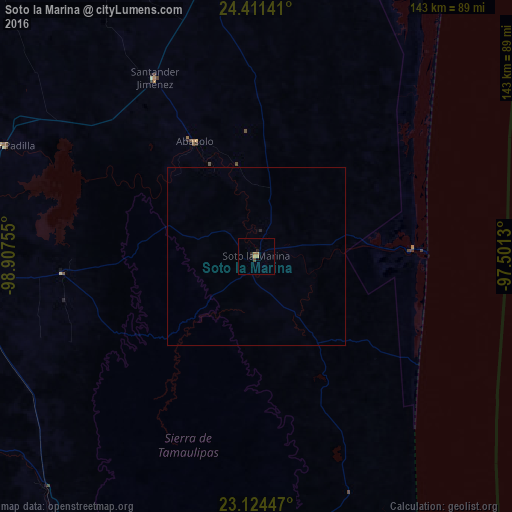
99.71%Clear (daylight) street map image can be seen on geolist.org.
Map coordinates:
24° 24' 41.1" North, 98° 54' 27.2" West
23° 46' 10.3" North, 98° 12' 15.9" West
23° 7' 28.1" North, 97° 30' 4.7" West
Some cities around Soto la Marina sort by population:
• Ciudad Victoria
95.9 km =59.6 mi,  268°
268°
• Aldama
95.2 km =59.2 mi,  172°
172°
• González
107.2 km =66.6 mi,  192°
192°
• Guillermo Zúñiga
104.9 km =65.2 mi,  285°
285°
• Estación Santa Engracia
105 km =65.2 mi, 285°
• Abasolo
36.4 km =22.6 mi,  331°
331°
• Nueva Villa de Padilla
77.3 km =48 mi, 293°
• Santander Jiménez
57.3 km =35.6 mi, 330°
3516522 (p: 10,620)
Sources (retrieved 2019-11-25):
» Earth at Night: Flat Maps 2012, 2016