Brownsville night lights from space
Night Light of Brownsville (Texas) from space (United States) Src. Average luminocity for 10x10km area is 94.8826% and for 50x50km: 24.5132%.
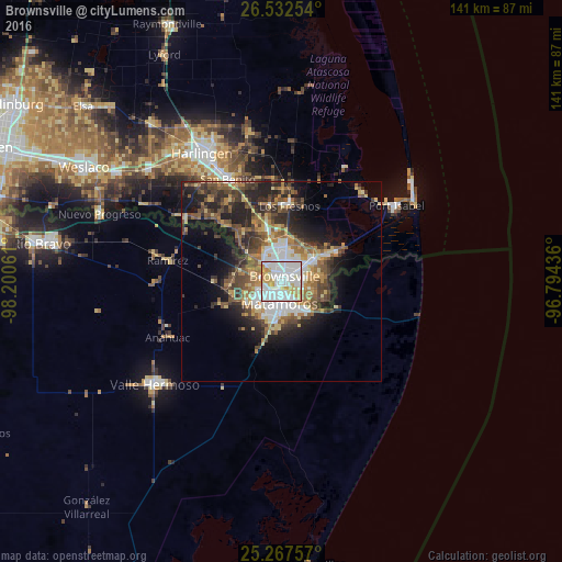
Analysis of Brownsville night lights 2016
Square area 10x10 km:
 52.08%
90-99
26.7%80-89
10.42%70-79
8.71%60-69
2.08%50-59
0%40-49
0%30-39
0%20-29
0%10-19
0%0-9
0%Square area 50x50 km:
4.87%90-99
3.23%80-89
3.06%70-79
2.94%60-69
3.8%50-59
4.26%40-49
4.44%30-39
4.03%20-29
6.64%10-19
9.18%0-9
53.54%Clear (daylight) street map image can be seen on geolist.org.
Map coordinates:
26° 31' 57.1" North, 98° 12' 2.2" West
25° 54' 6.3" North, 97° 29' 50.9" West
25° 16' 3.3" North, 96° 47' 39.7" West
Some cities around Brownsville sort by population:
• Heroica Matamoros, MX
2.5 km =1.6 mi,  195°
195°
• Harlingen
37.8 km =23.5 mi,  328°
328°
• Valle Hermoso, MX
40.6 km =25.2 mi,  231°
231°
• San Benito
28.9 km =18 mi, 332°
• Cameron Park Colonia
8 km =5 mi,  13°
13°
• Cameron Park
7.3 km =4.5 mi,  16°
16°
• Los Fresnos
19 km =11.8 mi, 6°
• Port Isabel
34.6 km =21.5 mi,  56°
56°
4676740 (p: 183,887)
Sources (retrieved 2019-11-25):
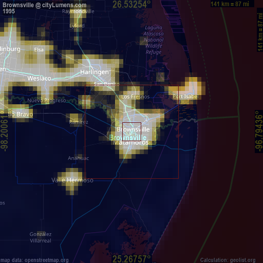
» NASA, Earths city lights 1995
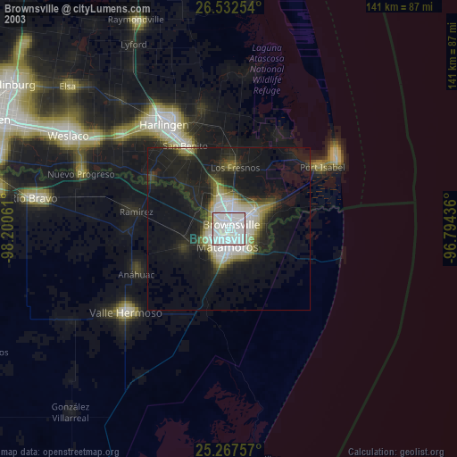
» NASA city lights 2003
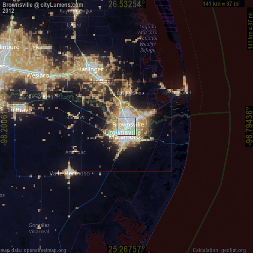
» Earth at Night: Flat Maps 2012, 2016